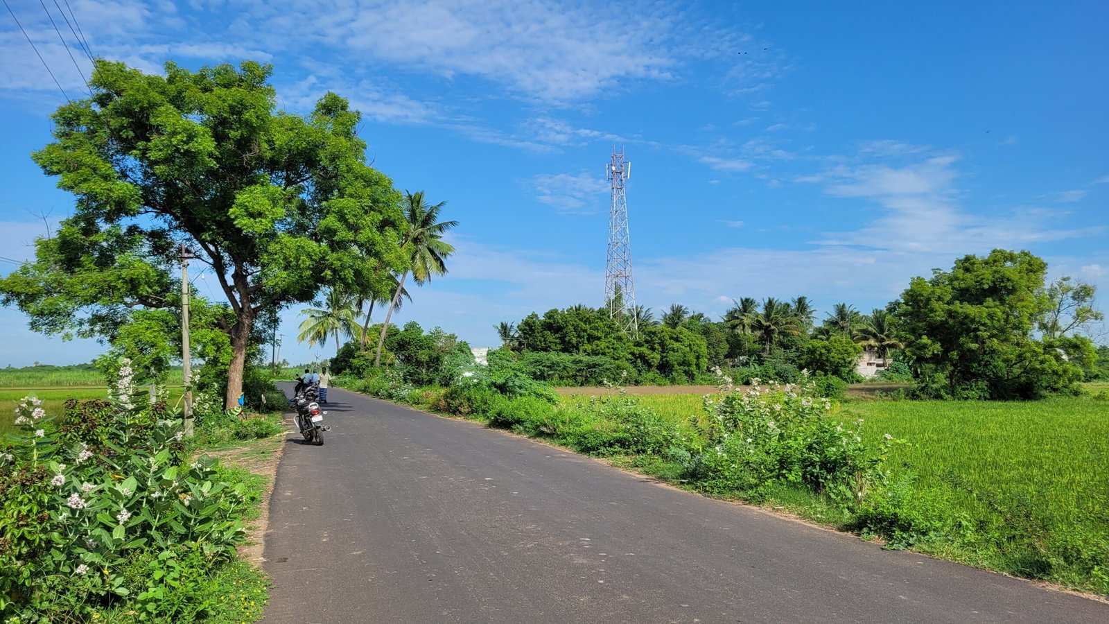
Arasamangalam Colony(அரசமங்கலம் காலனி(Tamil) in local language) is a village in the Viluppuram district of Tamil Nadu, India. It is part of the Arasamangalam Panchayat and is situated approximately 16 kilometers south of the district headquarters, Viluppuram, accessible via the Koliyanur route, and about 13 kilometers via the Pillur route.
Where it located : It situated at south side of Viluppuram. It located at one kilometre from A.K.Kuchipalayam village on National Highway 36.
|
PIN Code |
605103 |
|
Panchayat Union |
Koliyanur |
|
Taluk |
Viluppuram |
|
Parliamentary Constituency |
Viluppuram |
|
Assembly constituency |
Viluppuram |
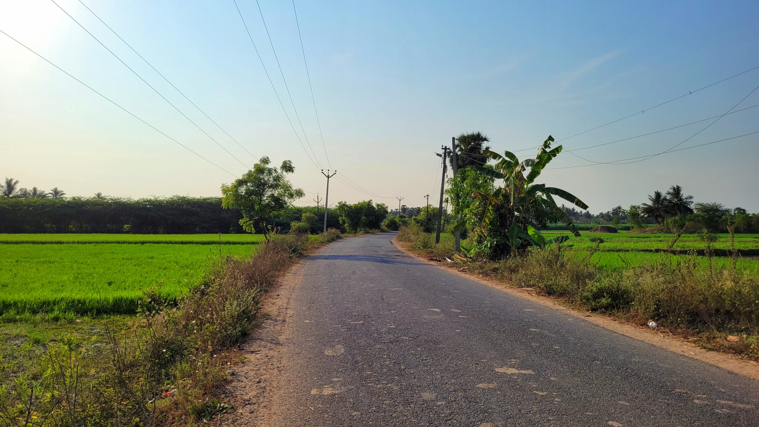
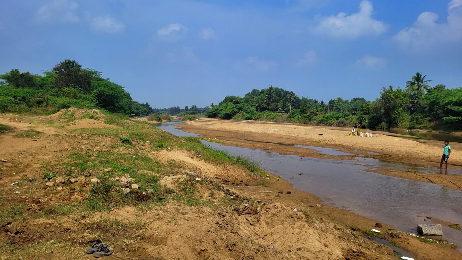
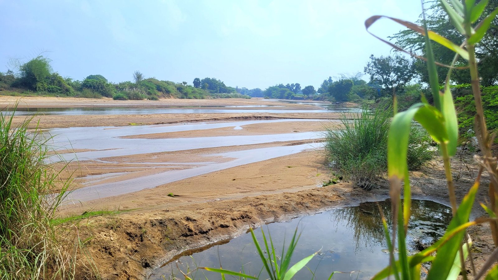
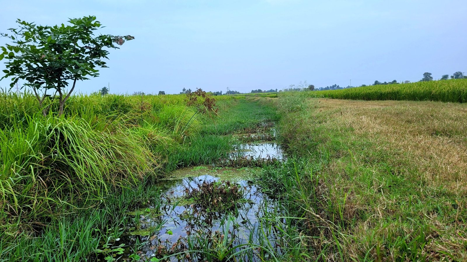
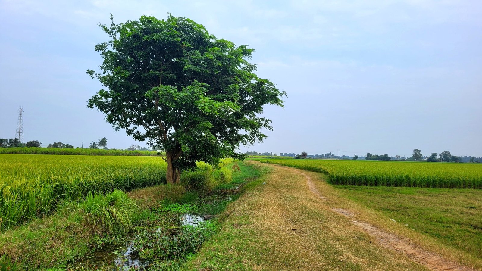
Natural Resources : The village is situated southern bank of Malattaru river, with a drain flows near the village.
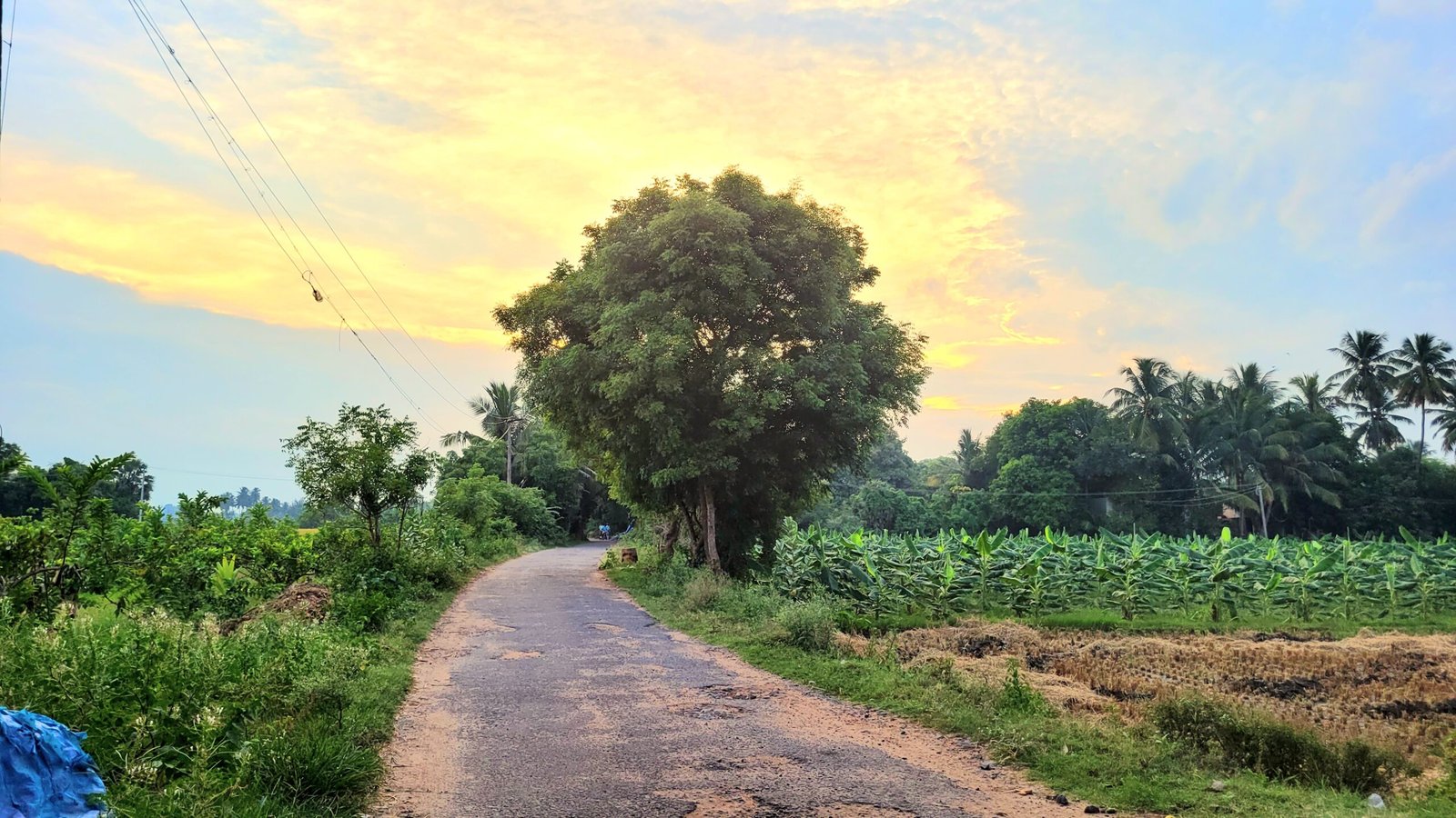
Occupations of the People : The primary occupation of the residents is agriculture, focusing on the cultivation of paddy and sugarcane. Additionally, brick manufacturing is prevalent, with several brick kilns operating in the area.
Games mostly played here : Cricket is a popular sport among the locals.
Neighbouring villages : Neighboring villages include Arasamangalam and A.K.Kuchipalayam.
Locate with Google Map
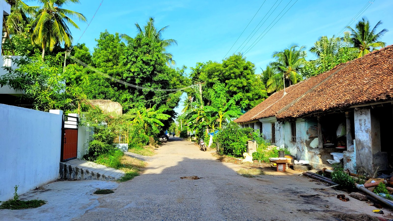
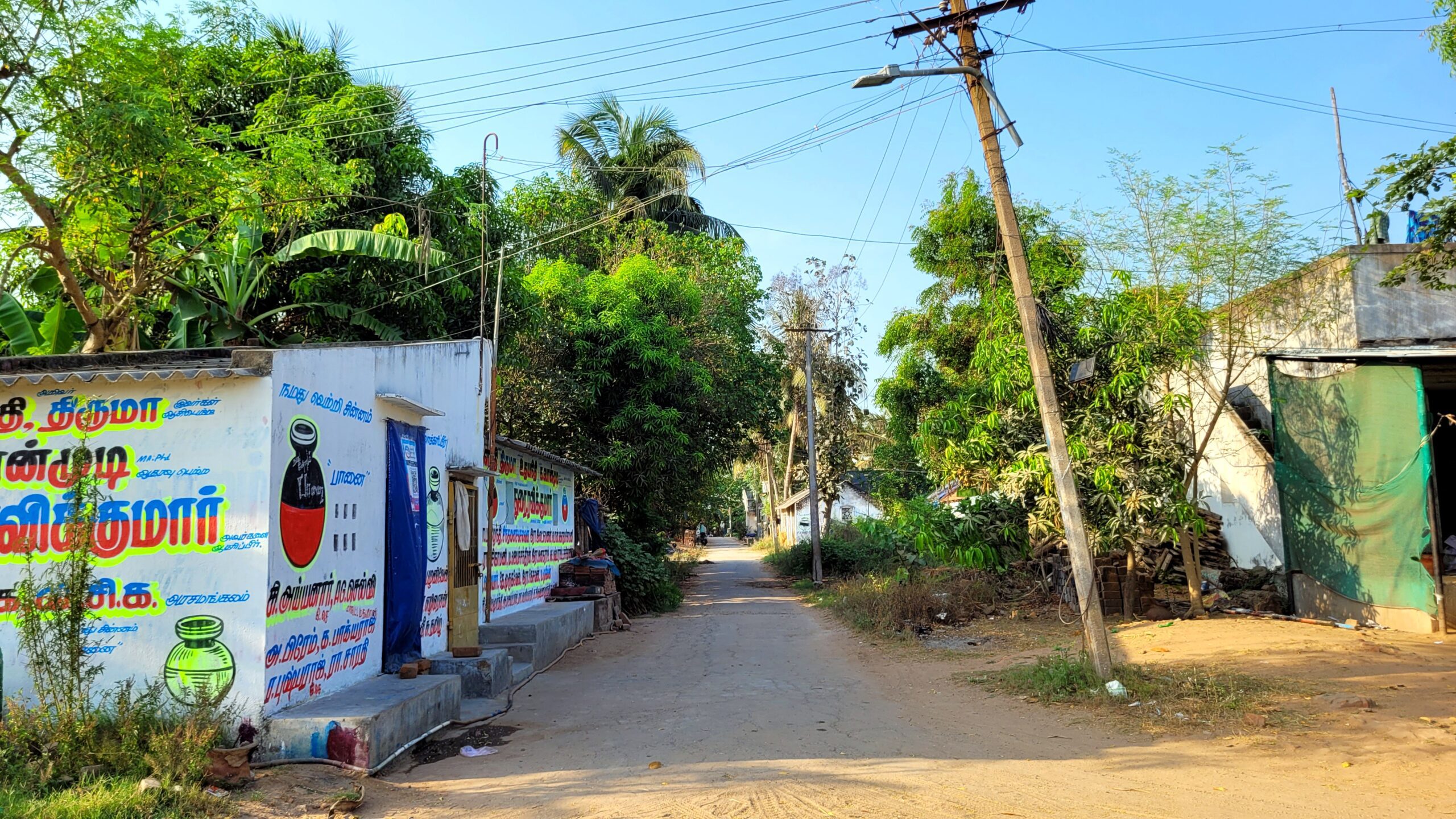
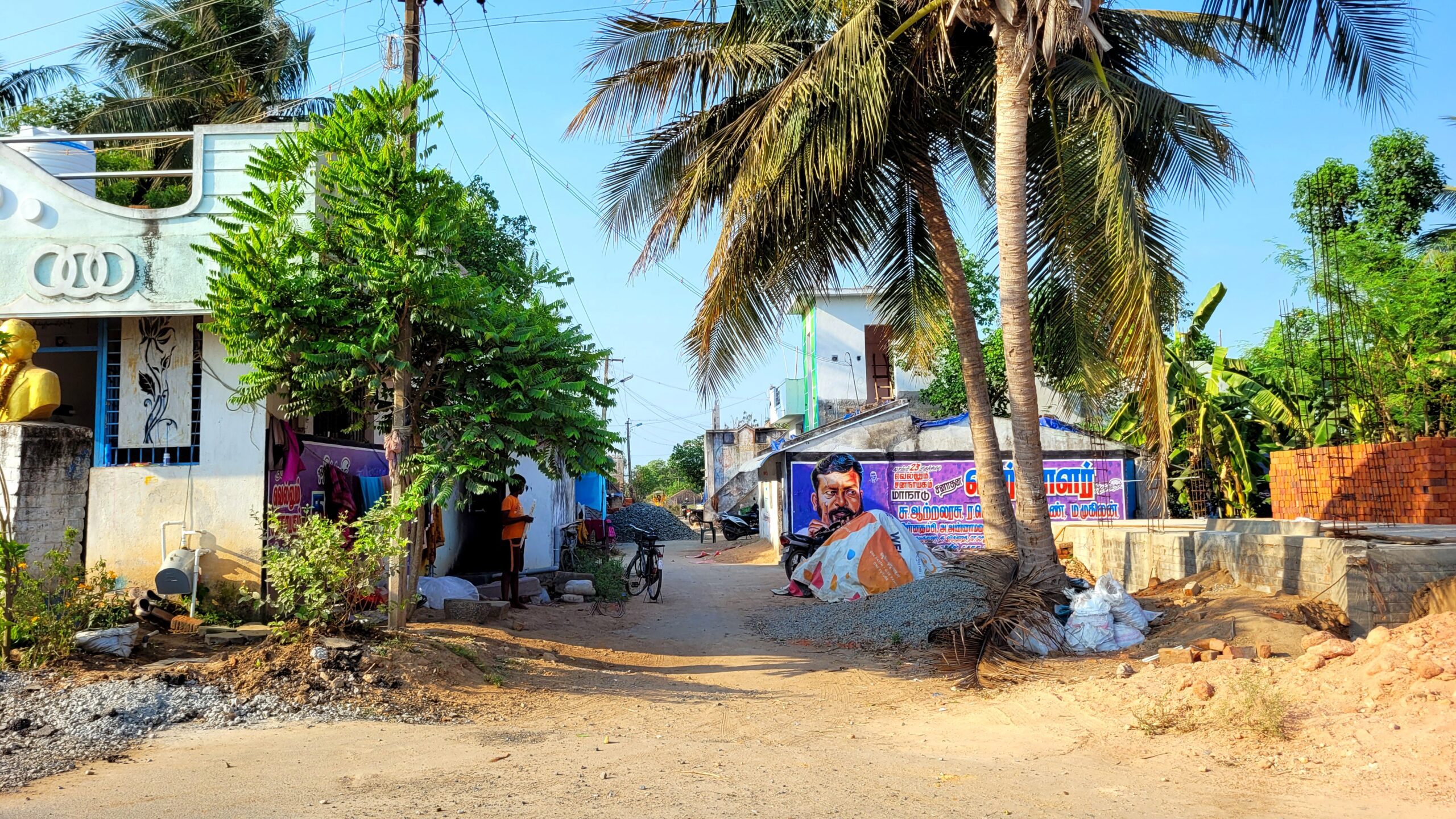
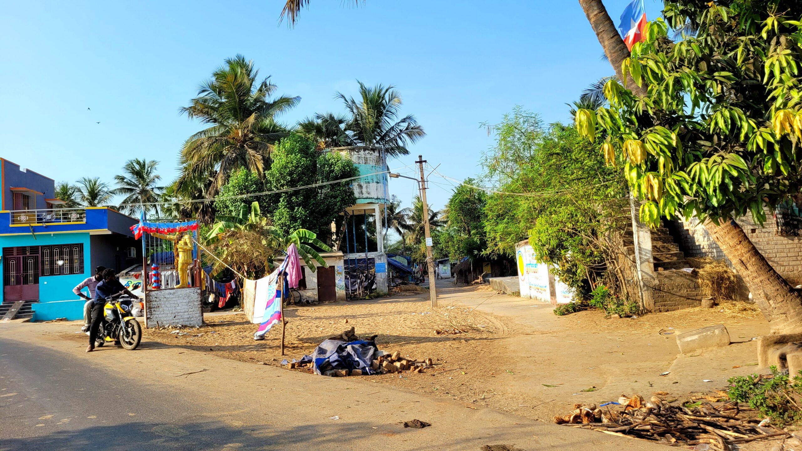
There are seven main available in this village.Those streets are listed here,
Streets of Arasamangalam Colony

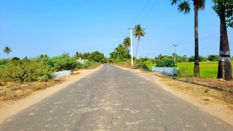
Main Road
The places listed below are lined up from A.K.Kuchipalayam side. This road is connecetd with Indira Nagar Streets, the road of other two streets and this is way to Arasamangalam
Small Soda Company
Ambedkar Statue
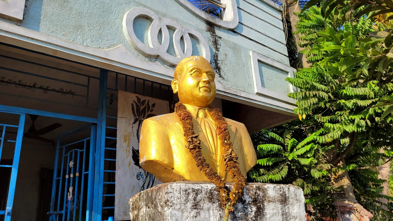
Gana Muni Grocery Store
Ambedkar Statue
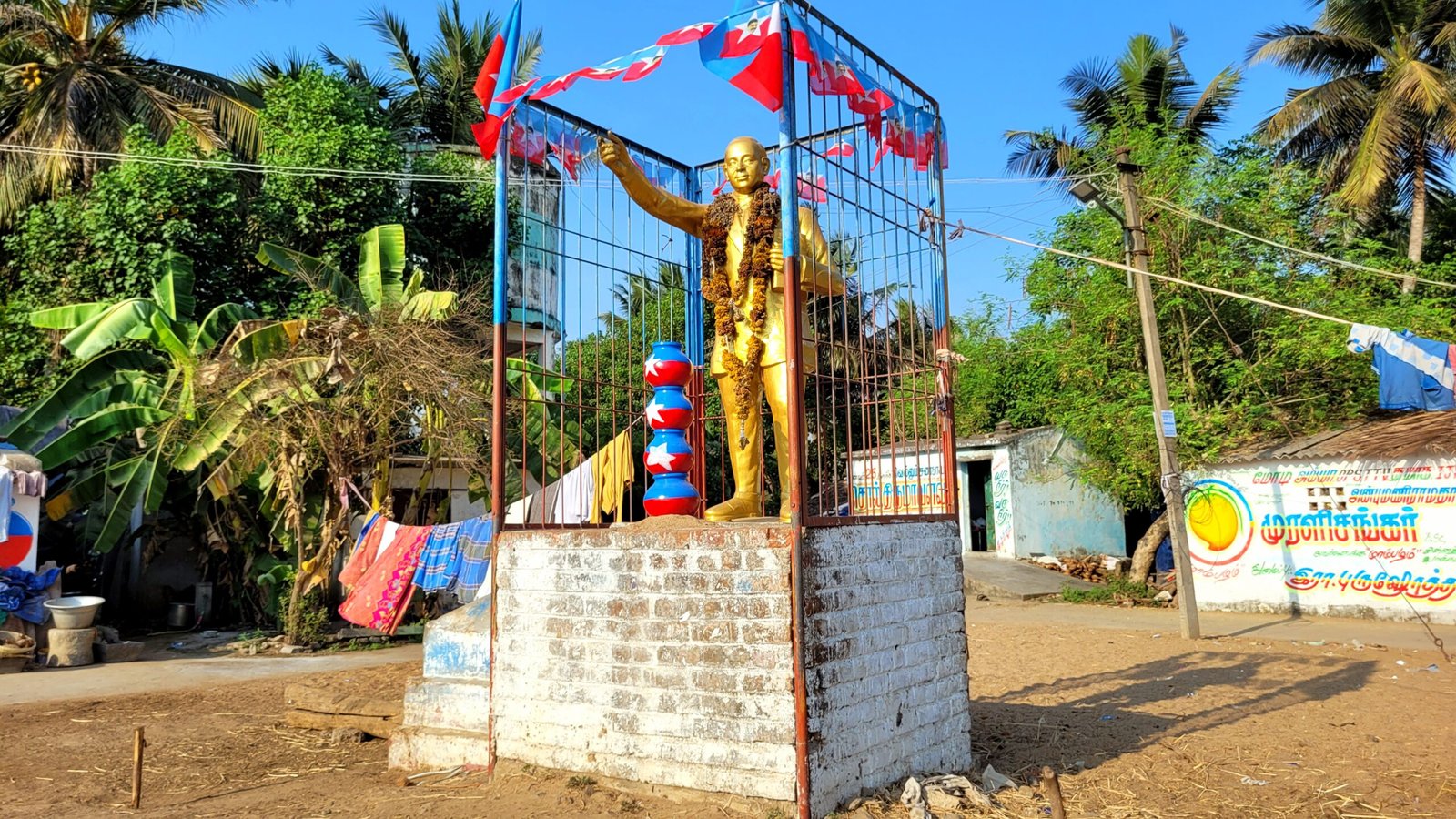
Way to Gengaiyamman Kovil Street and Mariyamman Kovil Street
Meenakshi Studio
Hotel Mokshitha (Restaurant)

Mariyamman Kovil Street

The places listed below are lined up from Mariyamman Temple
Mariyamman Temple
J.P Grocery Store
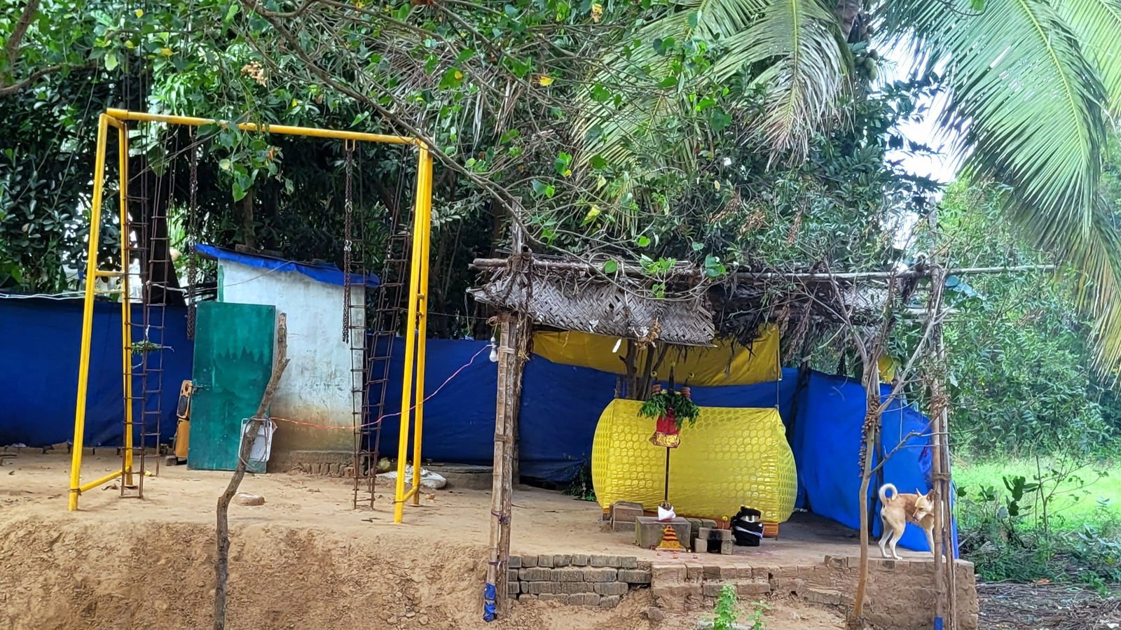
Angaalamman Temple
Below mentioned places are located from Mariyamman Kovil Street to the way to the river
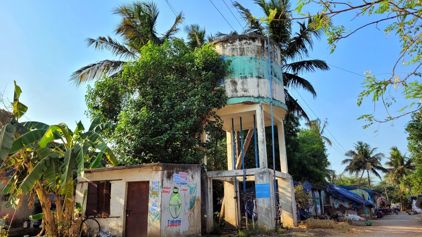
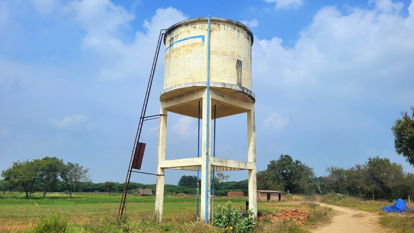
Water Tank
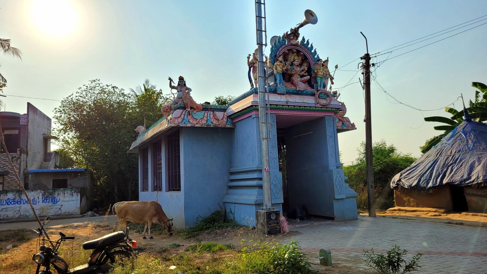
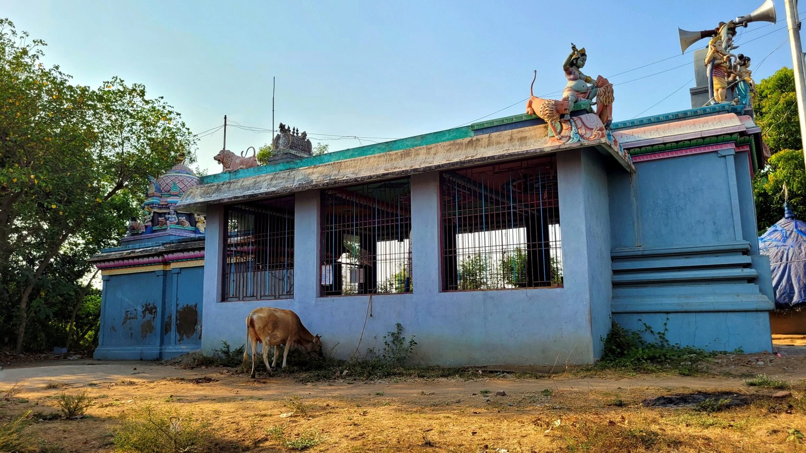
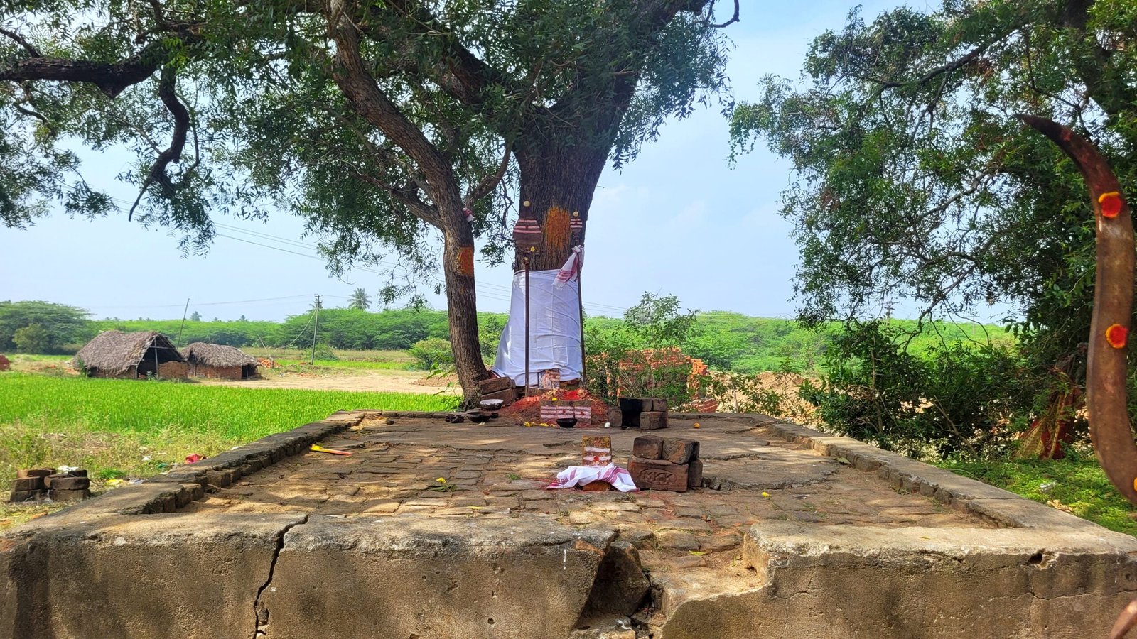
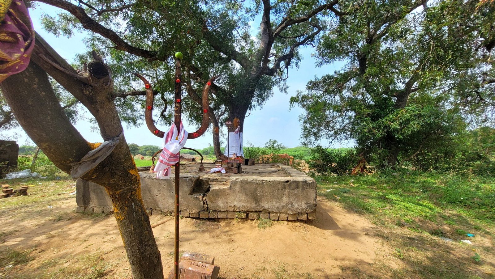
Periyandavar Temple
More from This Village
Malattaru River
Drain
Transportation Facilities
Via Train
Nearby Railway Stations with Transportation Facilities for this place:
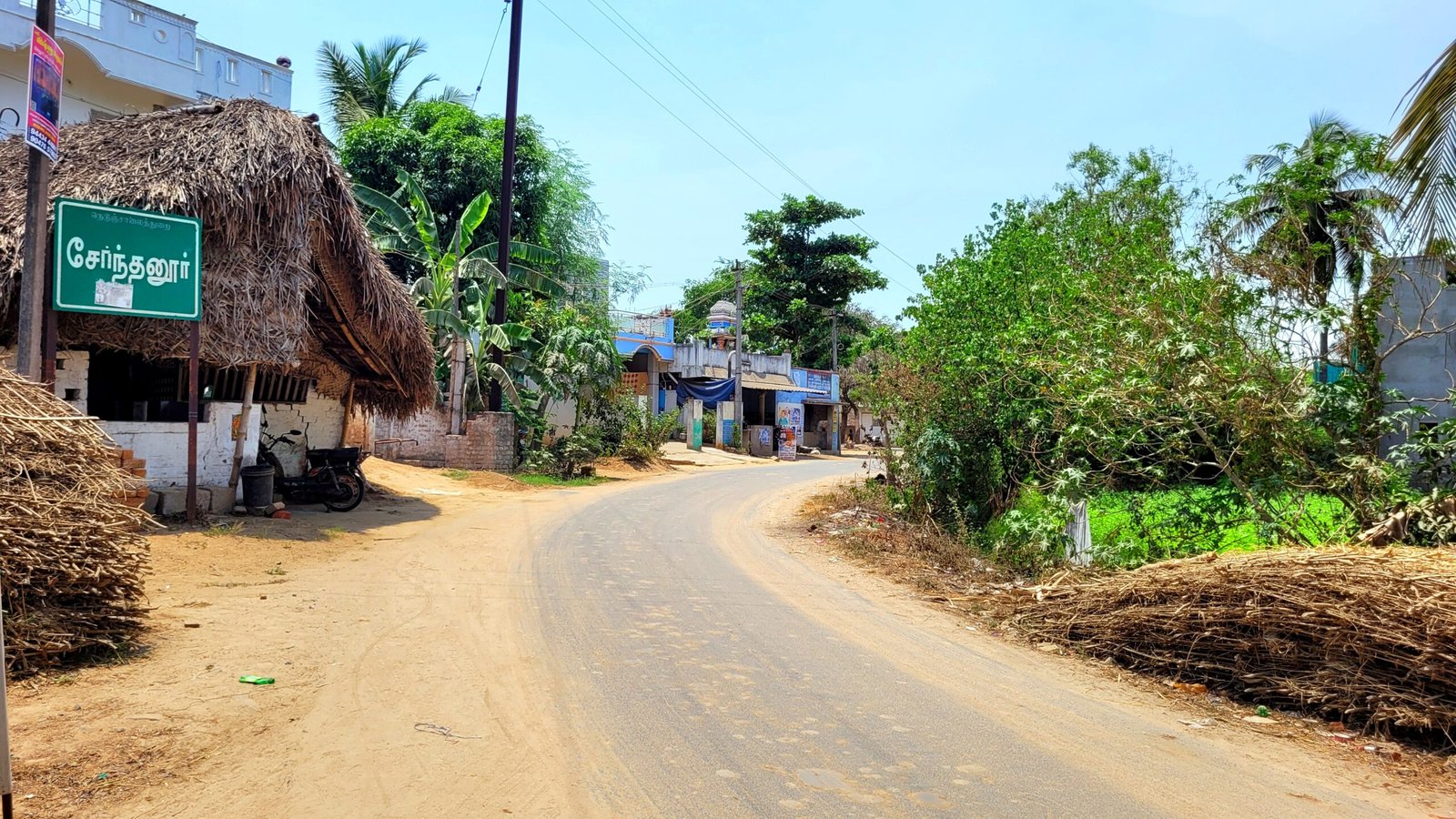
Serndanur Railway Station (3.5 KM)
Panruti Railway Station (11 KM)
Viluppuram Junction (13 KM)
Via Bus
From Viluppuram Bus Stand : The government bus from Viluppuram to Serndanur village stops at this village. Bus No.3I Serndanur.
Via Auto
There is also an auto facility to go to this village from A.K.Kuchipalayam village.(How to reach A.K.Kuchipalayam)
Below mentioned places are located within 15 kms from here
Popular Areas
- Viluppuram
- Panruti
- Poovarasankuppam
- Siruvandhadu
- Madukarai
Famous or Ancient Temples
- Shri Varadharaja Perumal Temple–Arasamangalam
- Shri Lakshmi Narahsimma perumal Temple – Poovarasankuppam
- Sishta Gurunatheswarar Temple – Thiruthuraiyur
- Valeeswarar Temple – Koliyanur
- Rakshadeeswarar Temple – Melkumaramangalam
Thank you for visiting our Site.We will regularly update the information on this page. So visit our Site regularly for latest information about this place.
Details last updated on 04/10/2024