Basic Details
Ariyalur (Thirukkai) is a gram-panchayat village in Kanai Block, Viluppuram District, Tamil Nadu. Situated about 14 km west of Viluppuram town, it’s under the 605402 PIN (Ariyalur Thirukkai Branch Office, Viluppuram H.O., Pondicherry division) . The village code is 632877, with Kanai as the nearest block and Viluppuram Sub-District administration .
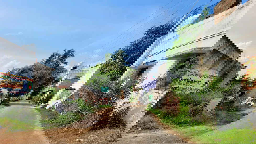
Key Landmark
Ariyalur (Thirukkai) doesn’t feature a prominent ancient temple, but it hosts several local Ganesh and Mariamman shrines, along with a village Panchayat office and branch post office .
Settlements
The main habitation (Ariyalur Thirukkai) comprises around 1,128 households. Nearby clustered hamlets include Palliyandur (3 km away), Porur, Elusempon, Othiyathur, and Kozhipattu, all closely linked by rural roads .
Streets & Amenities
Primary infrastructure includes:
Panchayat office and Post Office
Anganwadi (children’s centre), PDS ration shop
Primary and middle schools (about 6 primary & 3 middle gov’t schools)
Scattered water tanks, hand pumps
Tea stalls, grocery shops, and informal meeting spots
Bus stops with public and private buses to Viluppuram and Kanai
Geography & Resources
The village spans 939.7 ha (9.4 km²), with a mix of:
705 ha agricultural land, of which 308 ha is irrigated (294 ha via wells, 14 ha by tanks)
166 ha non-agricultural and 68 ha left fallow
It’s bounded by the Ponnaiyar River to the south and lies just off NH‑332/32, providing strategic connectivity .
Population & Lifestyle
As per the 2011 Census:
Population: Between 5,290 and 5,666 (2,693–2,884 males; 2,597–2,782 females)
Households: ~1,128; Avg family size: ~4
Literacy: 3,871 literates (2,142 M; 1,729 F) → ~73% literacy (incl. functional illiteracy: 1,419)
Scheduled Castes: ~1,016 (≈19%)
Livelihoods are rooted in agriculture (paddy, pulses), alongside daily-wage labor and small trade. Community life revolves around local temples, school events, and canal-side discussions.
Transport
Railway Access:
Nearest: Mambalapattu Halt (~5–7 km); Viluppuram Junction (~14–18 km)
Bus Access:
Public and private buses connect to Viluppuram, Kanai, and Kanai Block roads
Road Network:
Adjacent to NH‑332/32; village roads link it to nearby habitations and the highway.
✅ Summary
Ariyalur (Thirukkai) is a large, well-established agricultural village, with a population of ~5,500 and a village area of ~9.4 km². It features solid public infrastructure—Panchayat, schools, post office—and is well-connected by road and rail. Literacy sits around 73%, with SC representation around 19%. Its economy is steadily agrarian with growing connectivity.