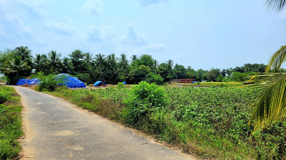
🏡 Basic Details
Name: Kanakkankuppam (கணக்கன்குப்பம்)
Gram Panchayat: Kanakkankuppam (single-village jurisdiction; 9 wards)
Block / Taluk: Gingee
District: Viluppuram, Tamil Nadu
Pincode: 604151 (Ananthapuram Post Office)
Area: ~142.7 hectares (~1.43 km²)
Nearest Town: Gingee (~8–18 km, depending on source)
Administrative Address: 1/179 Kaman Koil Street, Pazhavalam; current Sarpanch: L. Sulochana
👥 Population & Households (2011 Census)
Total Population: 4,239 (2,111 M / 2,128 F) — Sex Ratio: ~1,008 F / 1,000 M
Households: ~957
Children (0–6 yrs): ~454 (~10.7%); Child Sex Ratio: ~957
📚 Literacy & Education
Overall Literacy Rate: ~67.8%
Male: ~75.9%
Female: ~59.8%
Schools in Village:
Panchayat Union Primary School (est. 1925) — Grades 1–5, library, playground, toilets, disabled access, mid-day meals
Government High School (Grades 6–10)
Lurdu Annai High School and RCPS Lurdu Nagar
Nearby: Billgates College of Education
⚙️ Work & Livelihood
Total Workers: ~2,029 (~48% of population)
Main Workers (68.6%): ~1,391
Cultivators: ~215
Agricultural Labourers: ~730
Household Industries: ~25
Others: ~421
Marginal Workers: ~638
🚍 Connectivity & Nearby Settlements
Transport: Public & private buses serve the village; nearest railway station within ~45 km
Nearby Villages: Gangavaram, Malavantangal, Padippallam, Malarasankuppam, Tachchampattu, Attiyur, Sittampundi, Palavalam, Pothuvoy
✅ Summary
Kanakkankuppam is a vibrant agrarian village in Gingee Taluk with approximately 4,239 residents across 957 households. It features a balanced gender ratio (~1,008 F/1,000 M) and decent literacy (~68%, though with a gender gap). Agriculture is the primary occupation, supported by a strong main workforce (~67%) and a significant seasonal labor segment (~30%). The village offers foundational schooling up to secondary level and retains bus connectivity, though railway access requires travel. As its own Gram Panchayat, Kanakkankuppam serves as a localized center for governance and education.
