🏡 Basic Details
- Name: Ottampattu (also spelled Ottambattu)
- Location: A hamlet and recognized school-cluster within Gingee Block, Gingee Taluk, Viluppuram District, Tamil Nadu
- Pincode: 604205 (Minambur Sub Post Office)
- Proximity to District HQ: About 35 km north of Viluppuram
- Nearest Town (for daily needs): Gingee (~3–4 km south)
- Geographic Coordinates: Lat 12.1542° N, Long 79.4286° E (~45 m elevation)
👥 Social & Civic Profile
- Local Language: Tamil
- Political Landscape: Main parties include DMK, AIADMK, DMDK, MDMK, PMK, INC
🏫 Education & School Cluster
- Schools: Ottampattu functions as a school cluster within Gingee Block, comprising around 16 schools (including government and private)
- Panchayat Union Middle School, Ottampattu: Offers Grades 1–8; co-educational
🚍 Transport & Accessibility
- Bus Connectivity: Public buses run directly within or near the hamlet, connecting to Gingee and neighboring villages
- Rail Access: No station within 10 km; nearest railheads are Gingee specialty, Viluppuram Junction, or Tindivanam (~30+ km)
👥 Nearby Villages & Hamlets
Ottampattu is closely linked with:
- Pallapattu and Muttatur (immediate neighbors)
- Additional nearby villages: Appampattu, Karai, Melarungunam, Konai, Kanakkankuppam, Kamagaram, etc.
✅ Summary
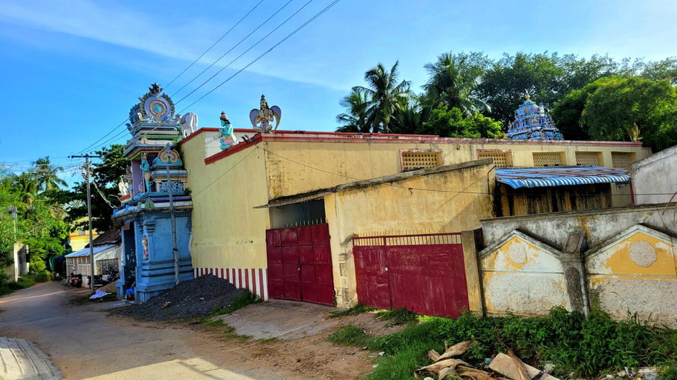
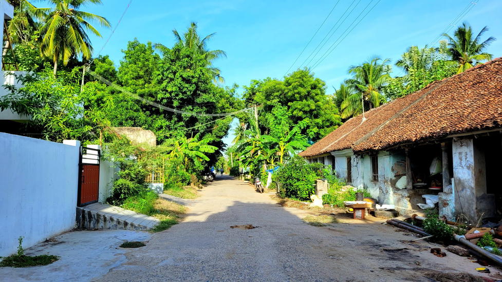
Ottampattu is a small rural hamlet functioning as a school cluster hub in Gingee Block. Despite its size, it plays an outsized role in educational access, with multiple schools servicing the region. While demographic counts aren’t specified, the village typifies the rural makeup of Gingee—Tamil-speaking, agrarian, with active local politics and community connectivity via buses. It relies on Gingee for broader services and infrastructure.

