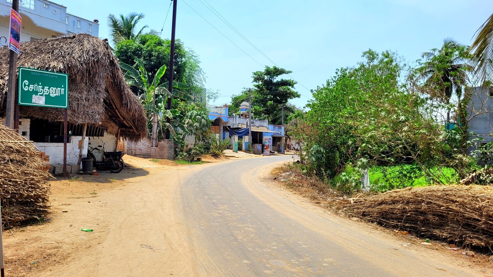
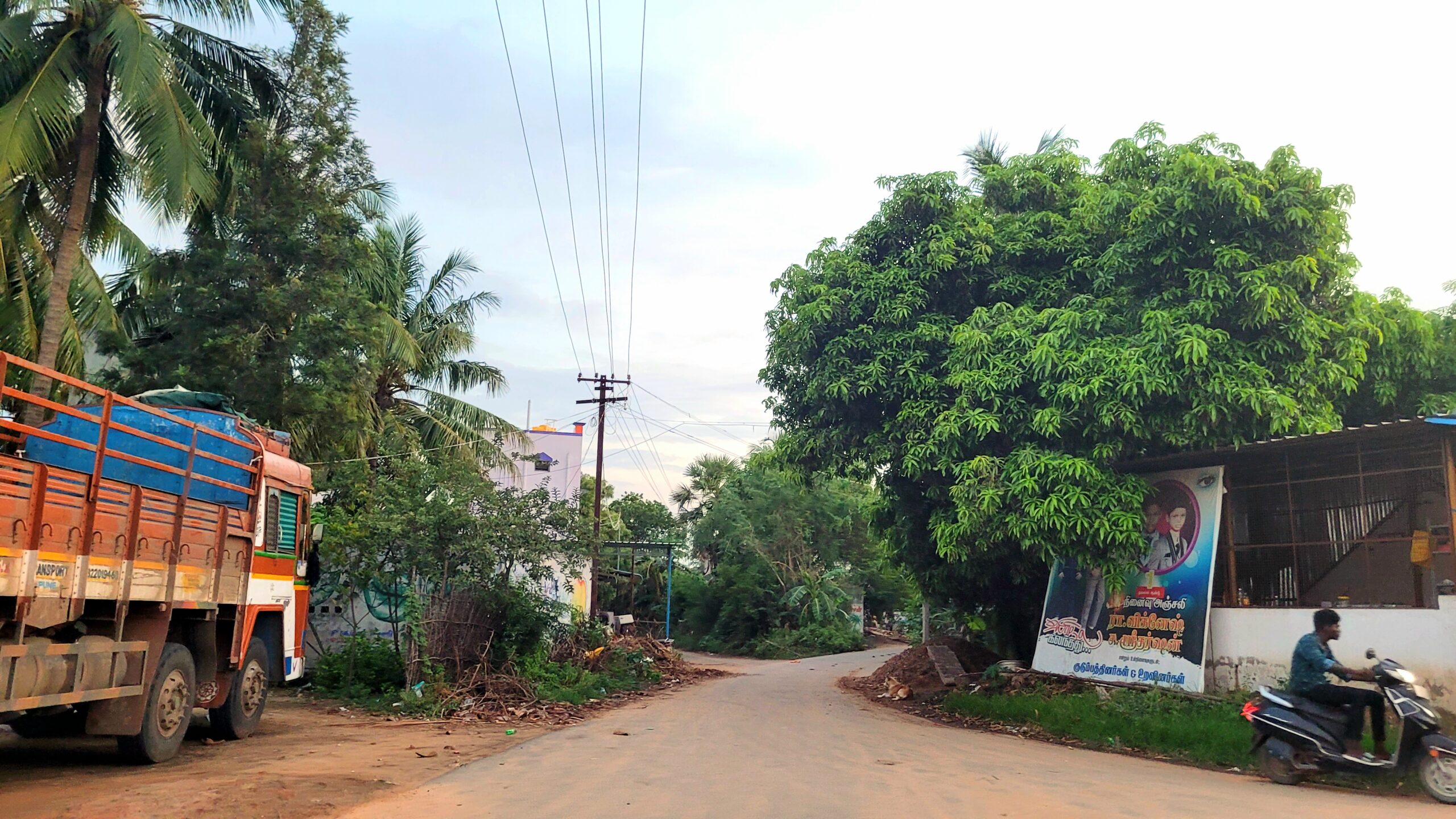
Serndanur (சேர்ந்தனூர்(Tamil) in local language) is a village located in the Viluppuram district of Tamil Nadu, India. This is one of the village panchayats in Viluppuram district. Serndanur village has a Railway station and this village is divided into four major habitation areas. Those habitations are,
sernthanur , senthanur , sernthanur colony , senthanur colony
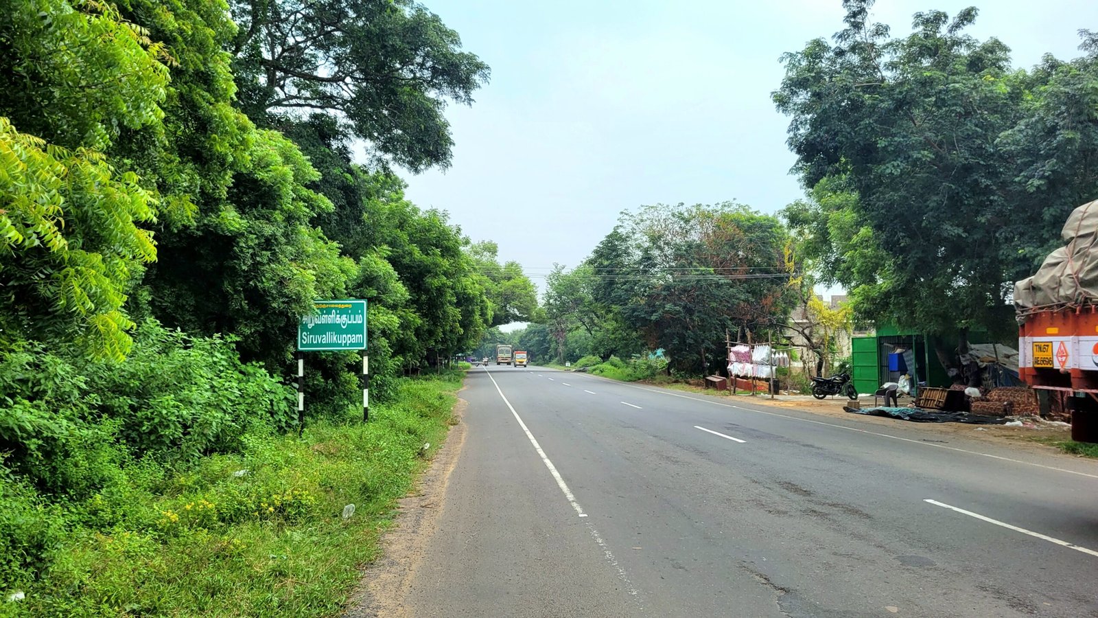
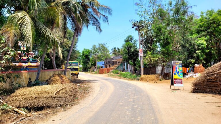
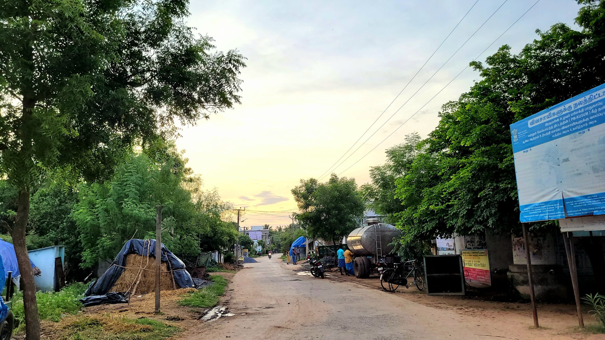
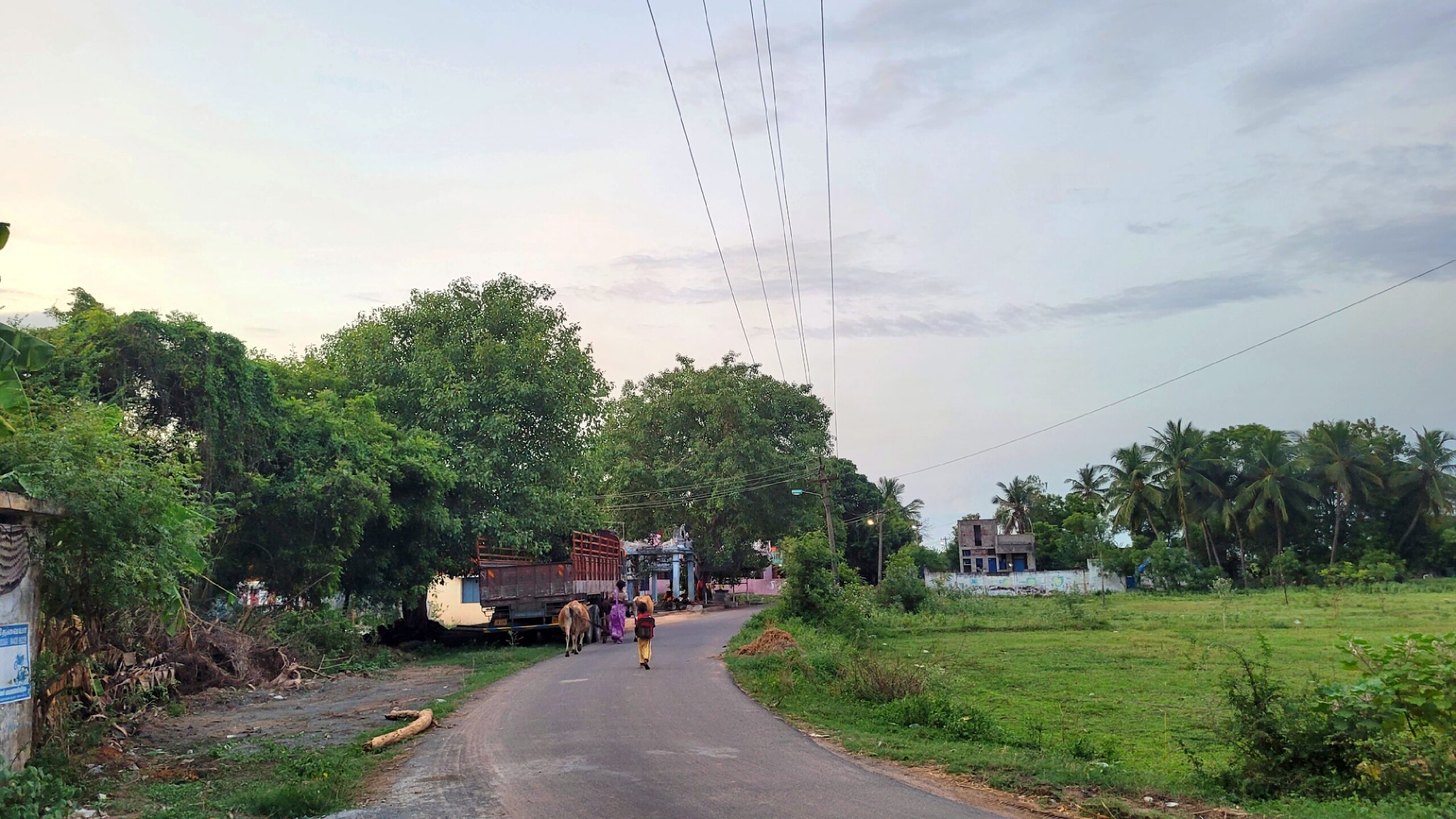
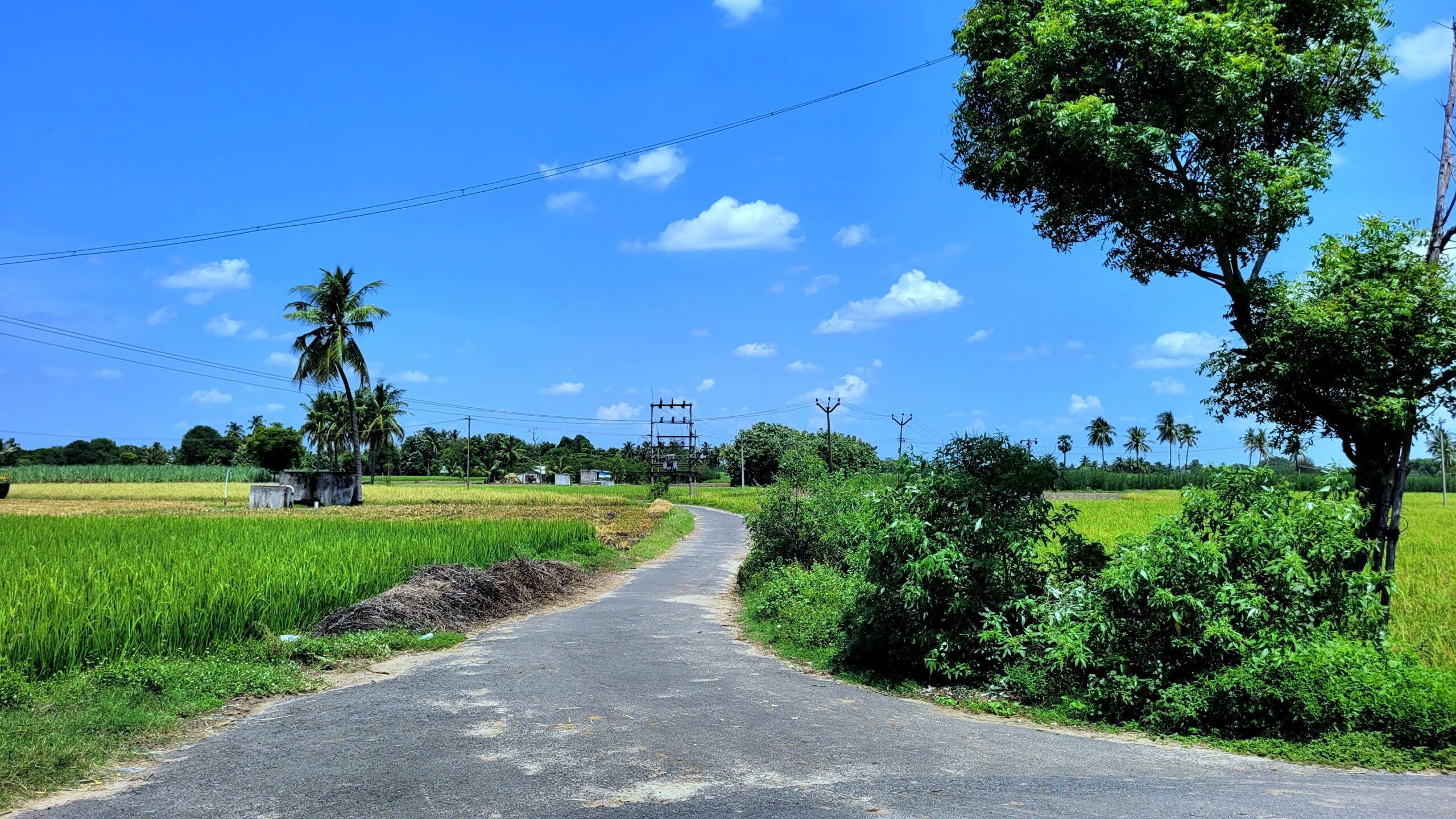
Where it located : Serndanur situated at south side of Viluppuram district.It is located three kilometers away from A.K.Kuchipalayam village on National Highway 36. This village located at a distance of 18 km from the district headquarters via Koliyanur and 11 km via Pillur.
|
PIN Code |
605103 |
|
Panchayat Union |
Koliyanur |
|
Taluk |
Viluppuram |
|
Parliamentary Constituency |
Viluppuram |
|
Assembly constituency |
Viluppuram |
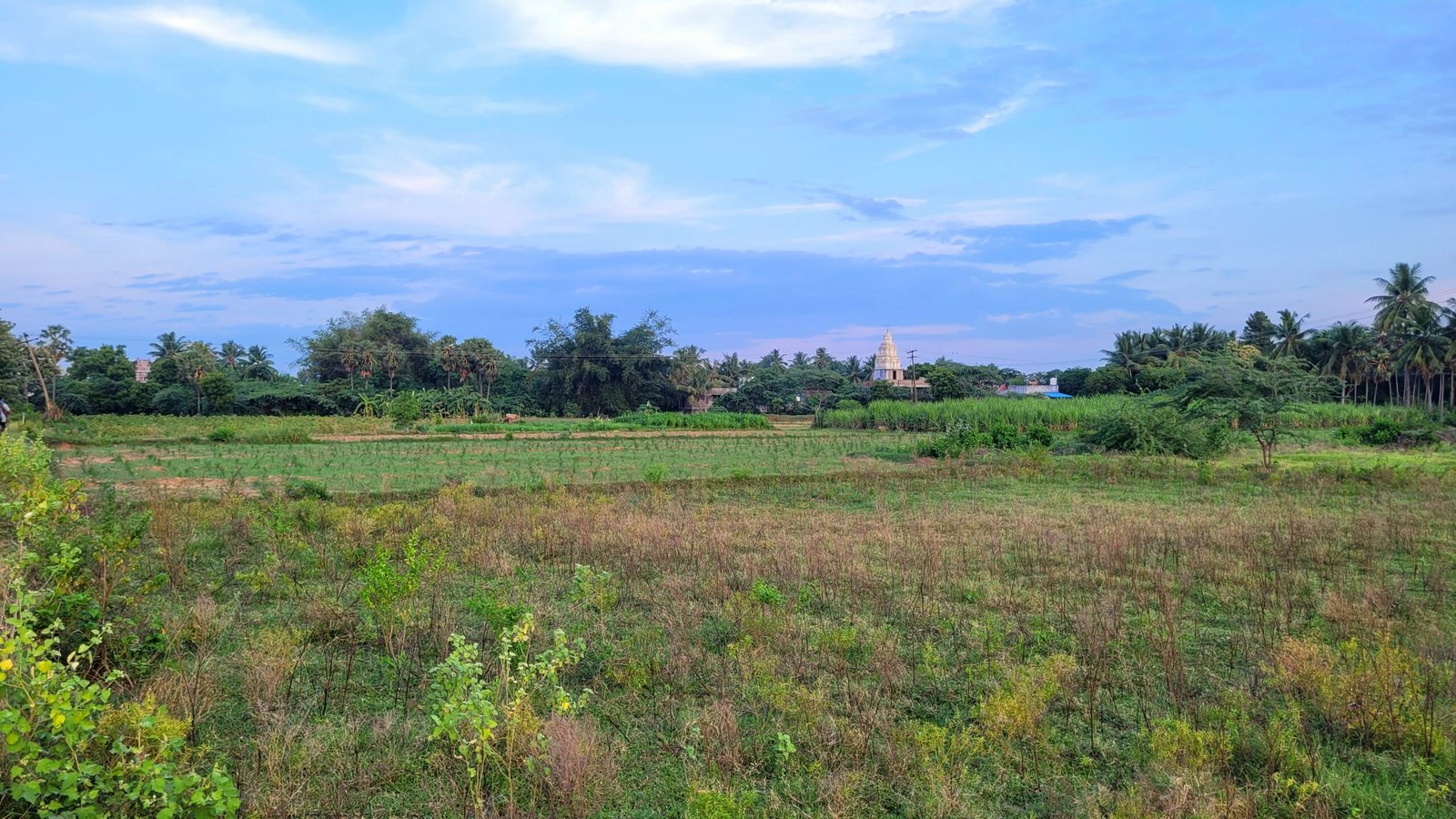
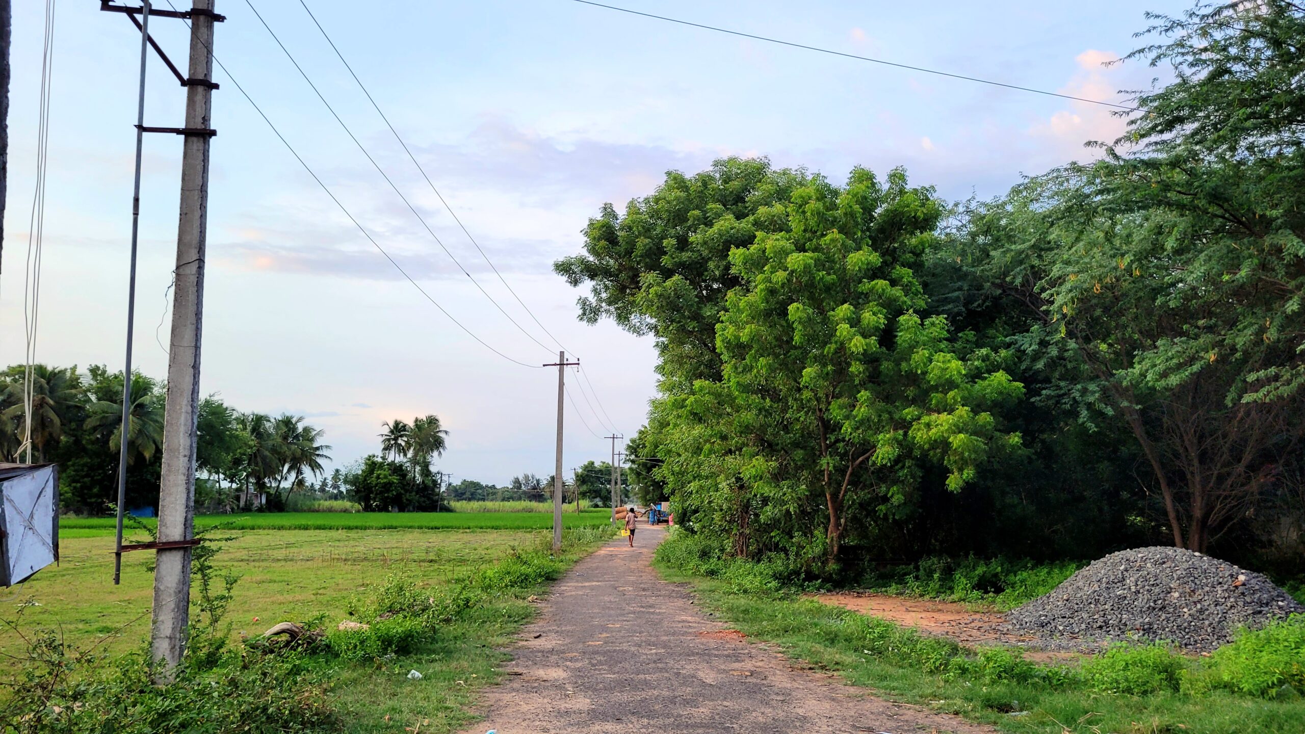
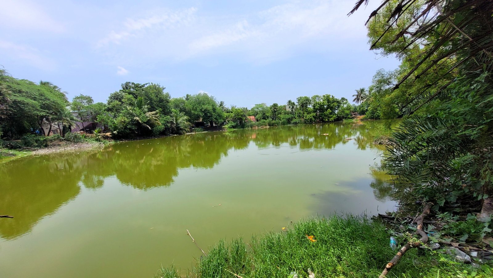
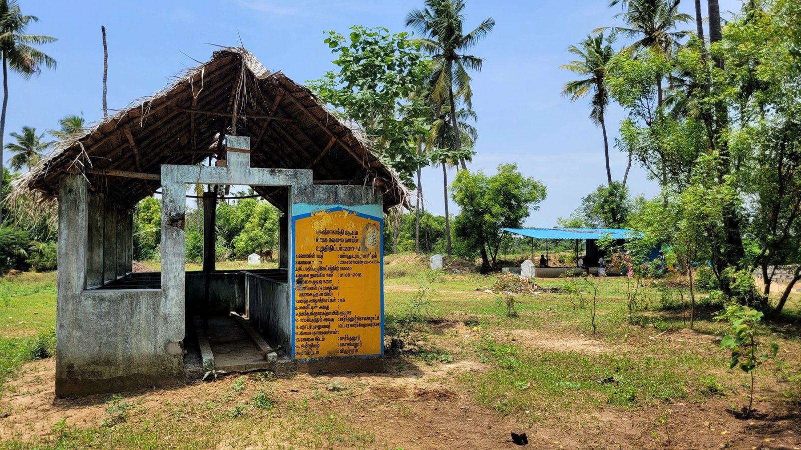
Natural Resources : Serndanur is located at the southern bank of Malataru River and there are also two ponds that serve as important water sources for the community.
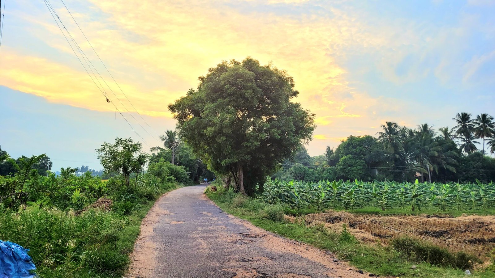
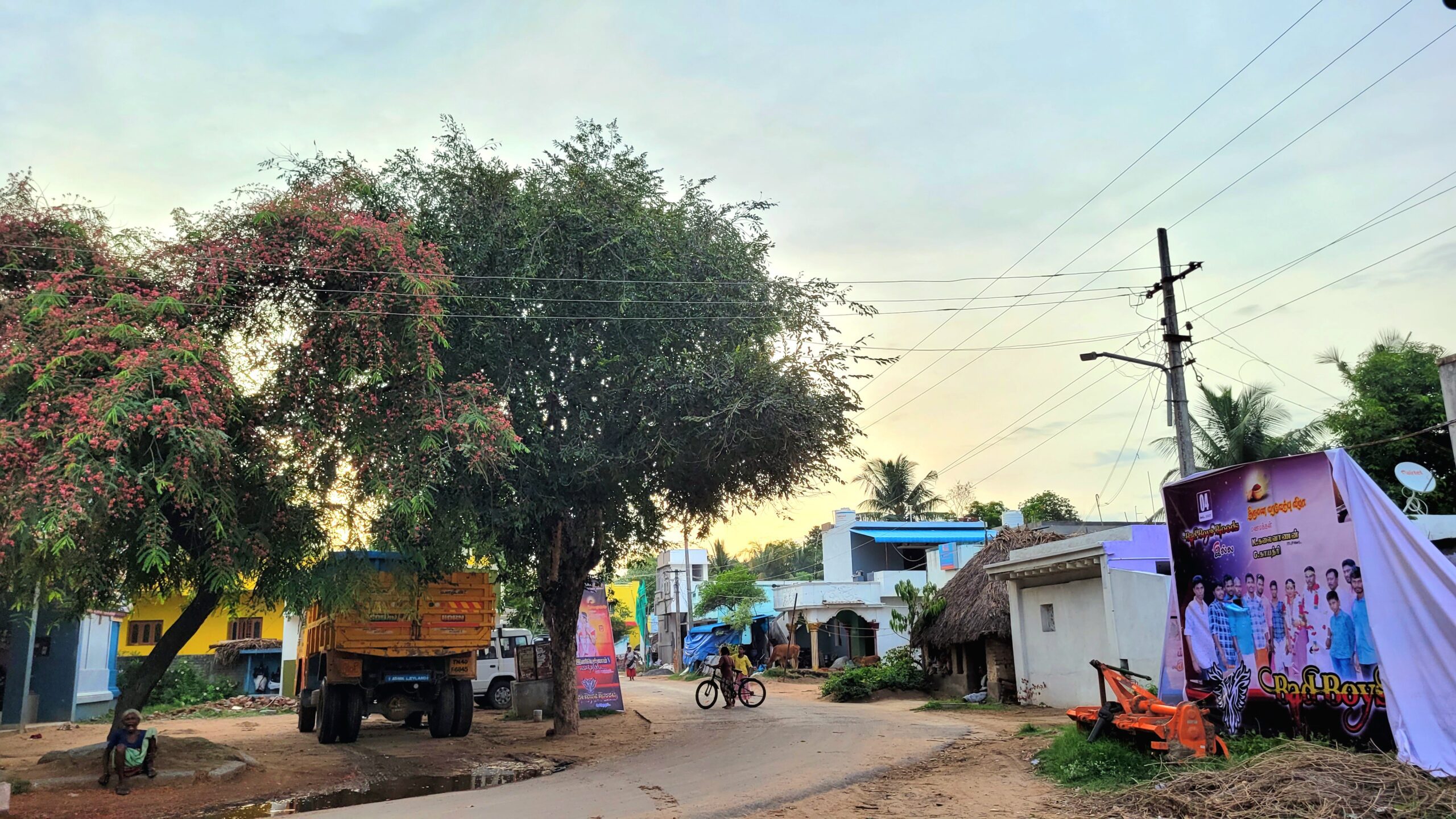
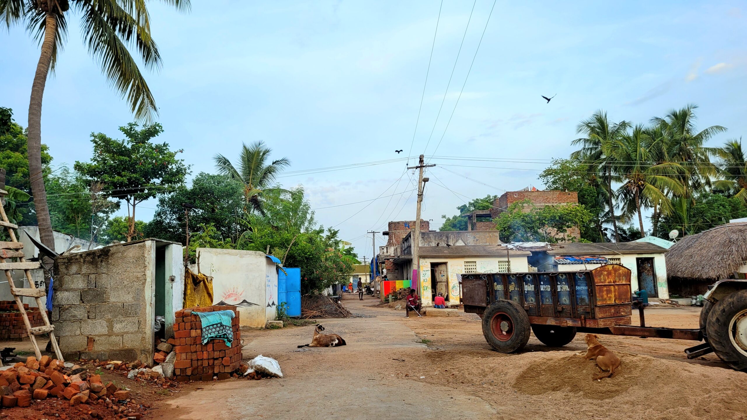
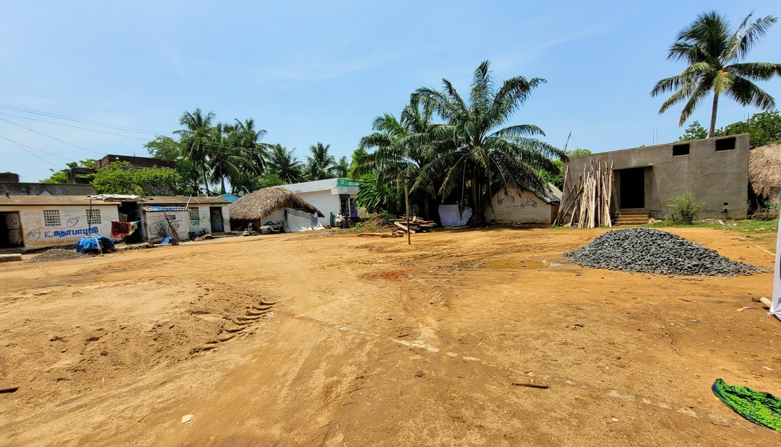
Occupations of the People : Agriculture is the primary occupation in Serndanur, with paddy and sugarcane being the main crops cultivated. The village also has several brick kilns, indicating a presence of brick manufacturing.
Games mostly played here : Residents commonly engage in cricket and volleyball as recreational activities.
Neighbouring Villages : Neighboring villages include Pillur, Arasamangalam, ThenKuchipalayam and Thiruppachanur.
Serndanur
Locate with Google Map
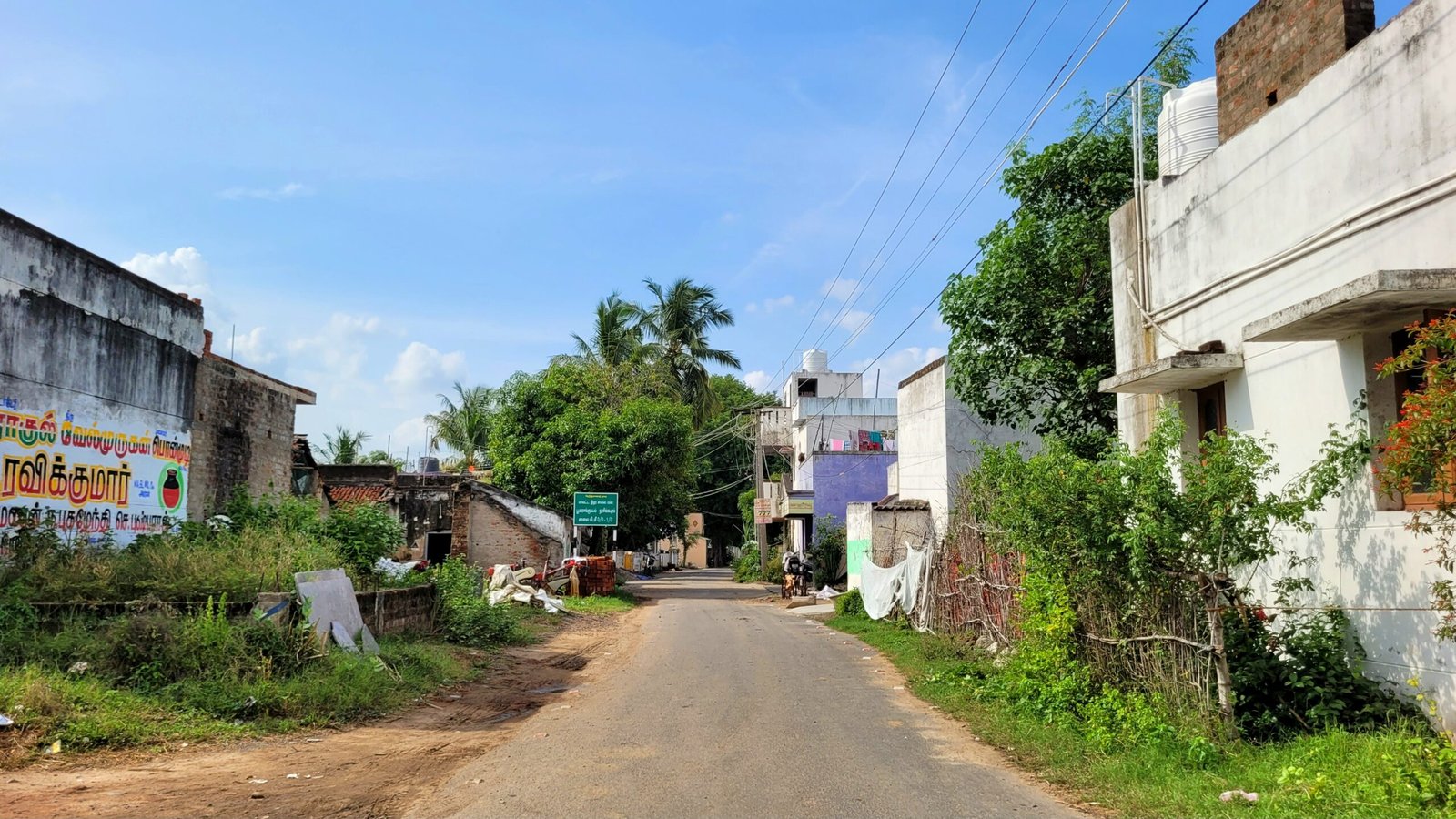
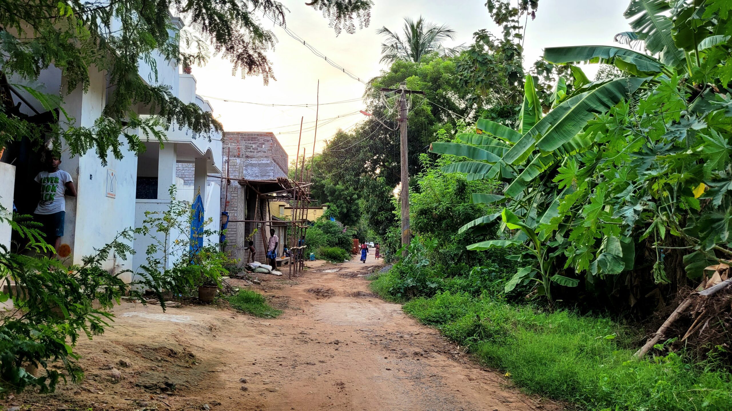
Serndanur habitation is adminstrated under serndanur village Panchayat.There are three streets are available in this habitation area. Those streets are listed below,
Streets of Serndanur
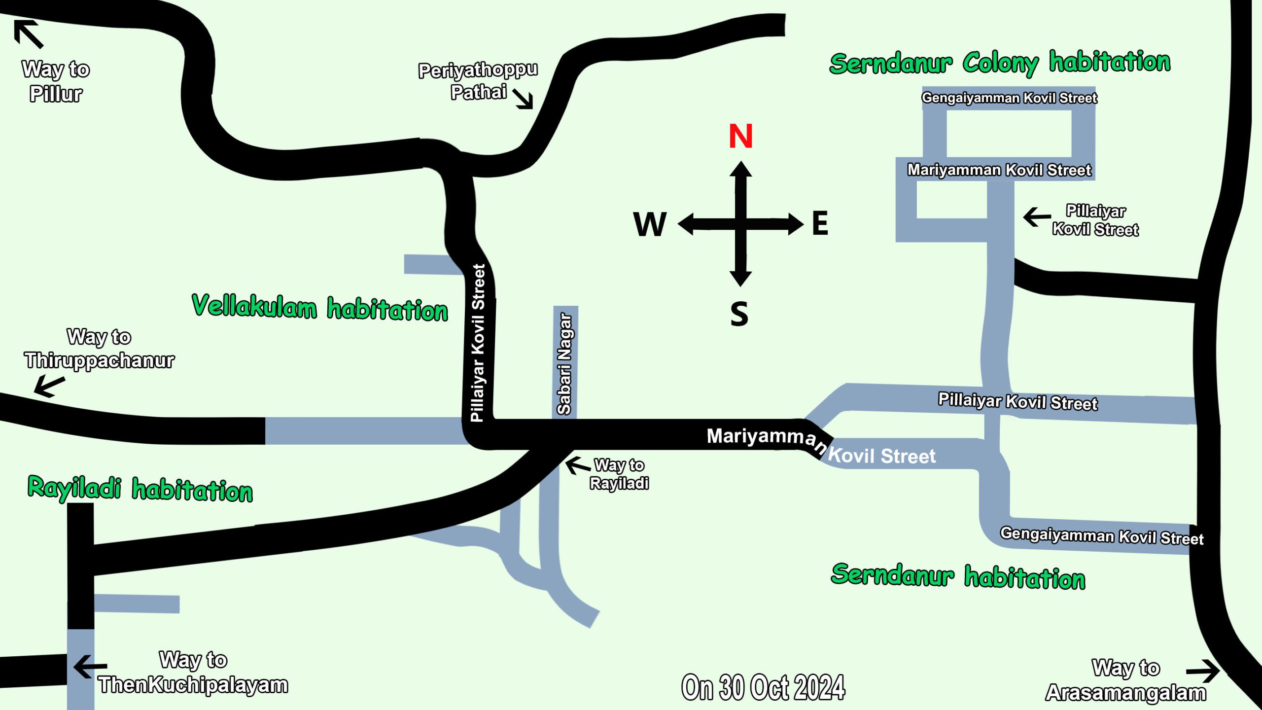
Gengaiyamman Kovil Street
The places listed below are lined up from Arasamangalam Village. This road is connecetd with Mariyamman Kovil Street , Pillaiyar Kovil Street and Serndanur Colony habitation
Restaurant
Government Primary School
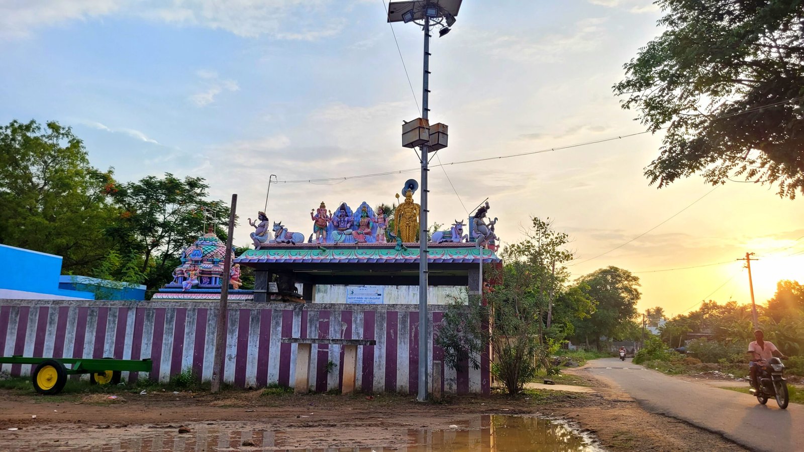
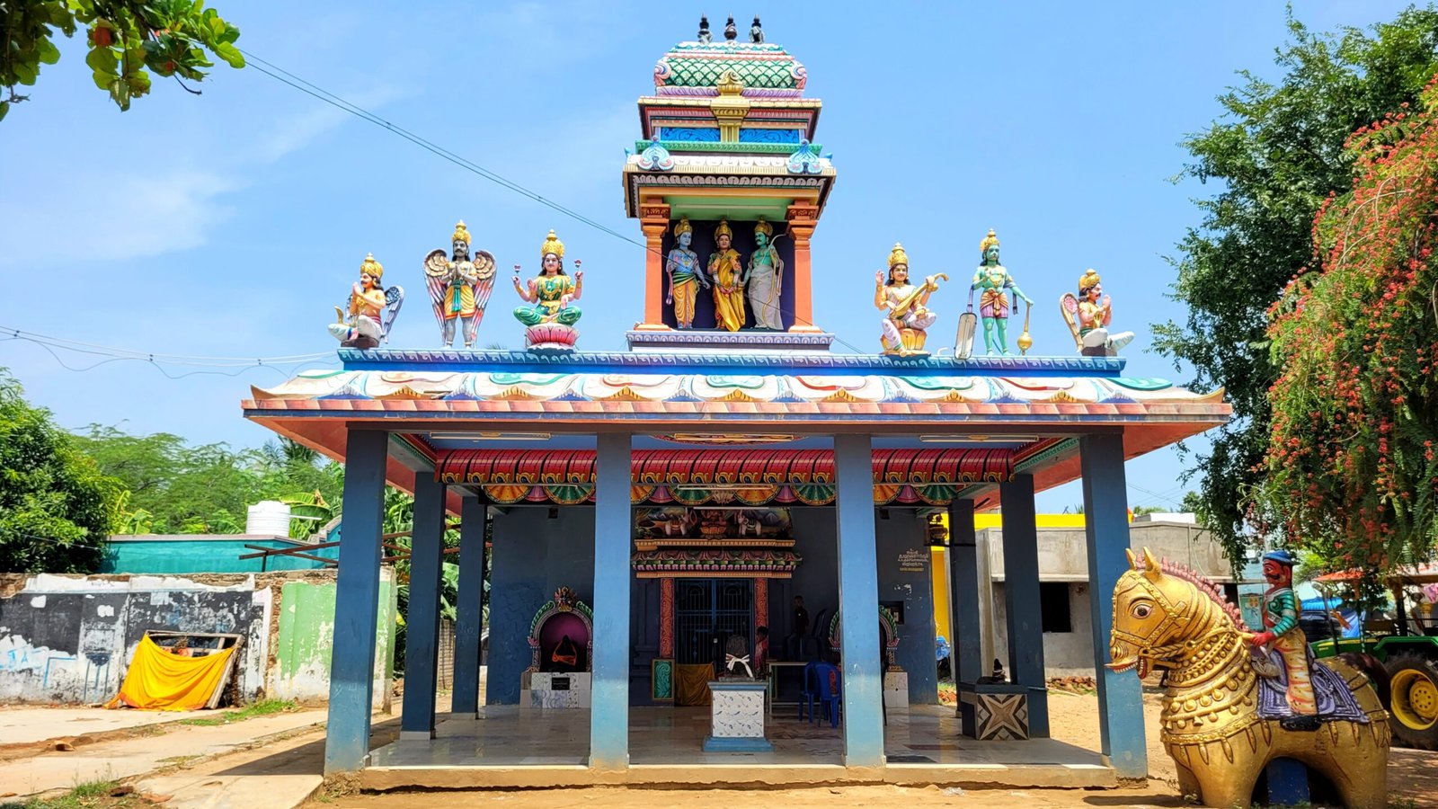
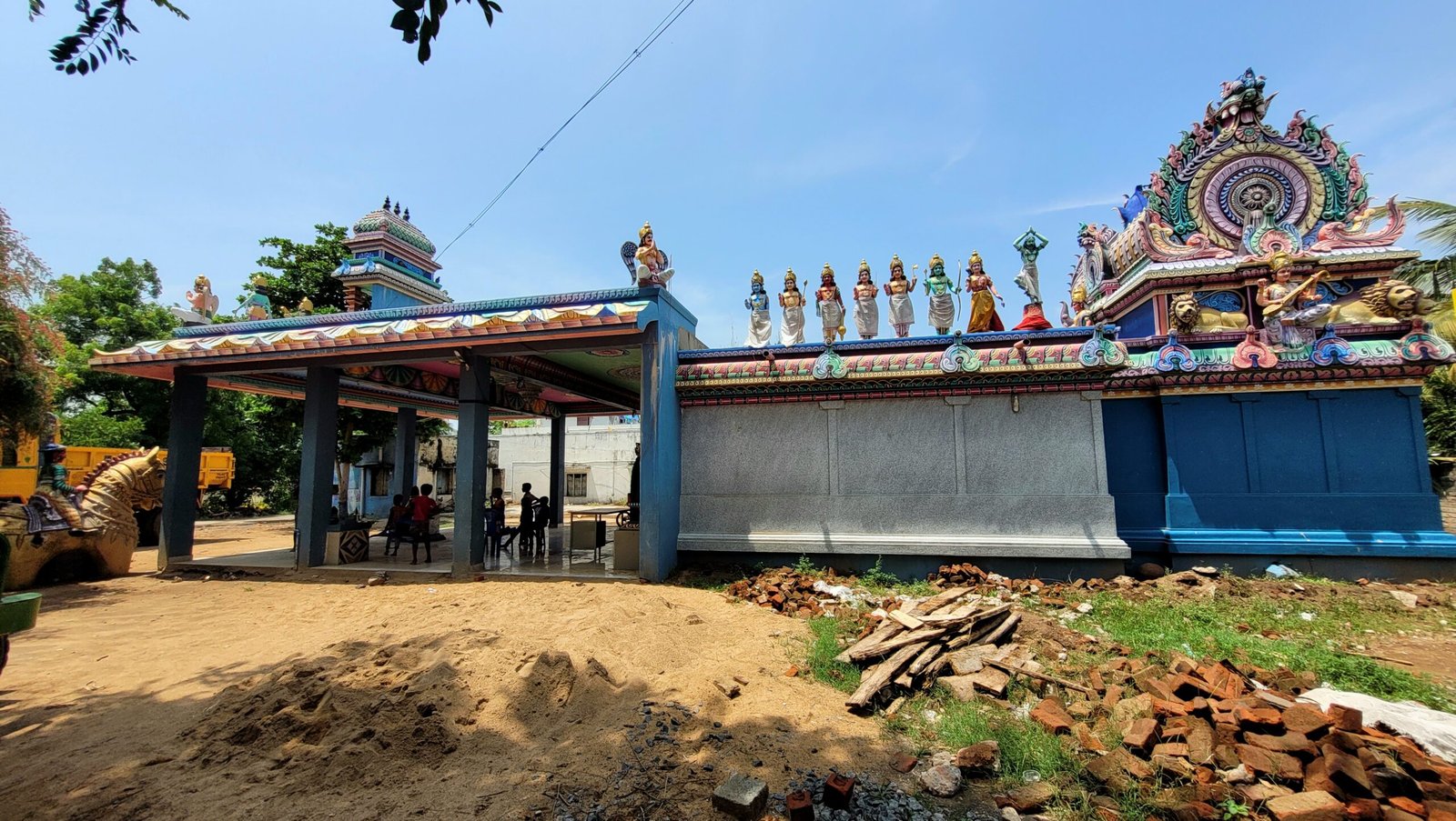
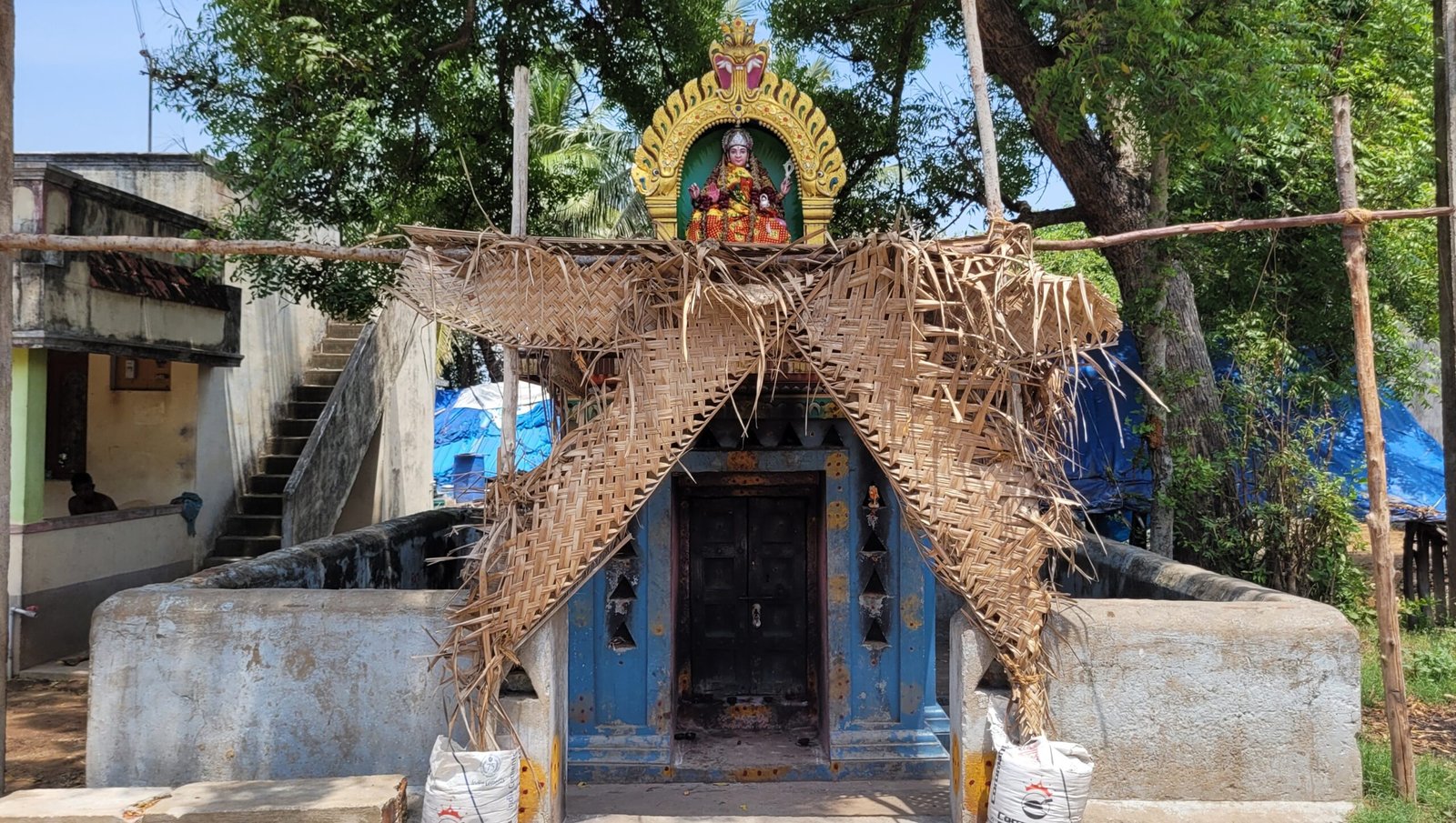
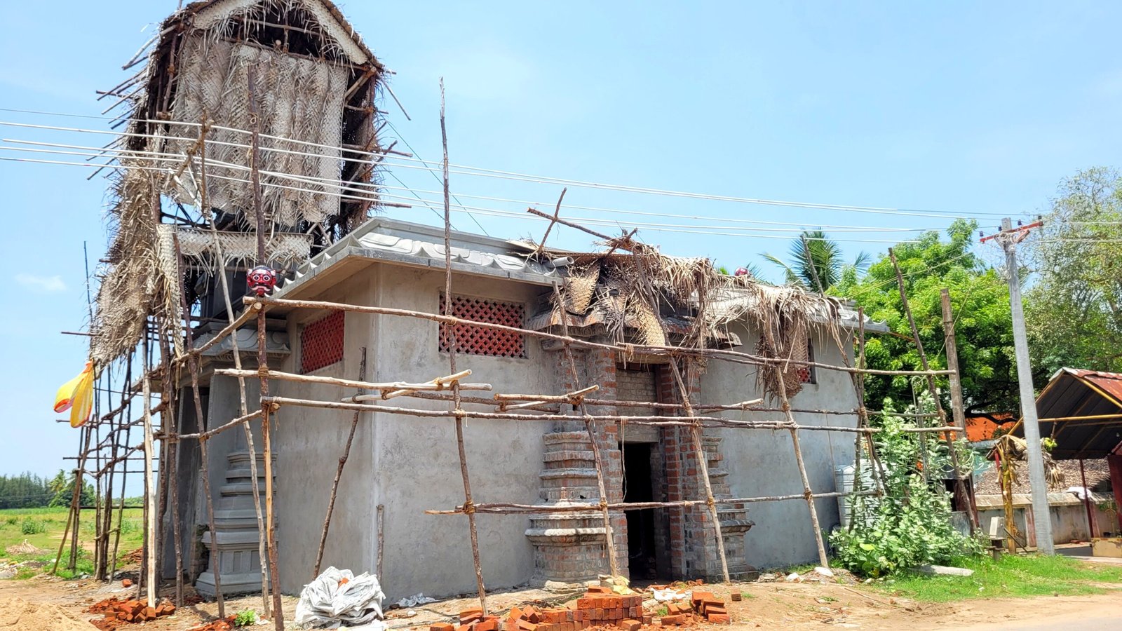
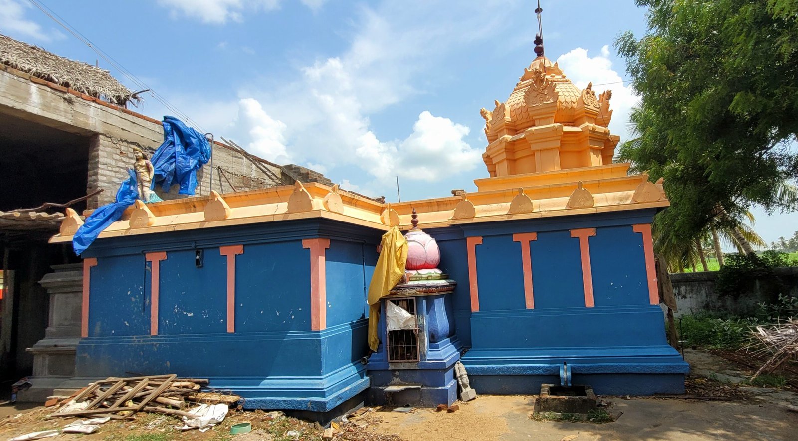
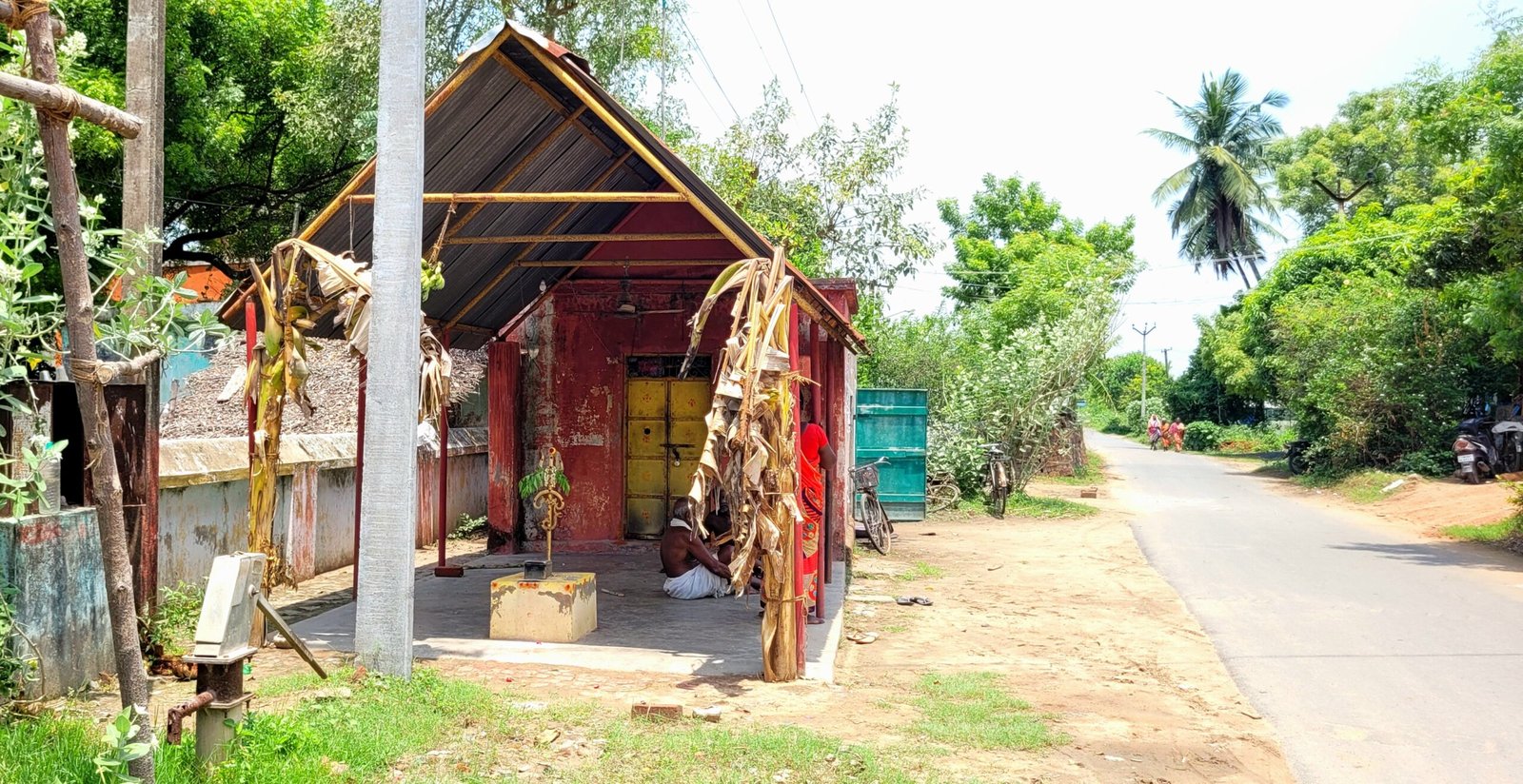
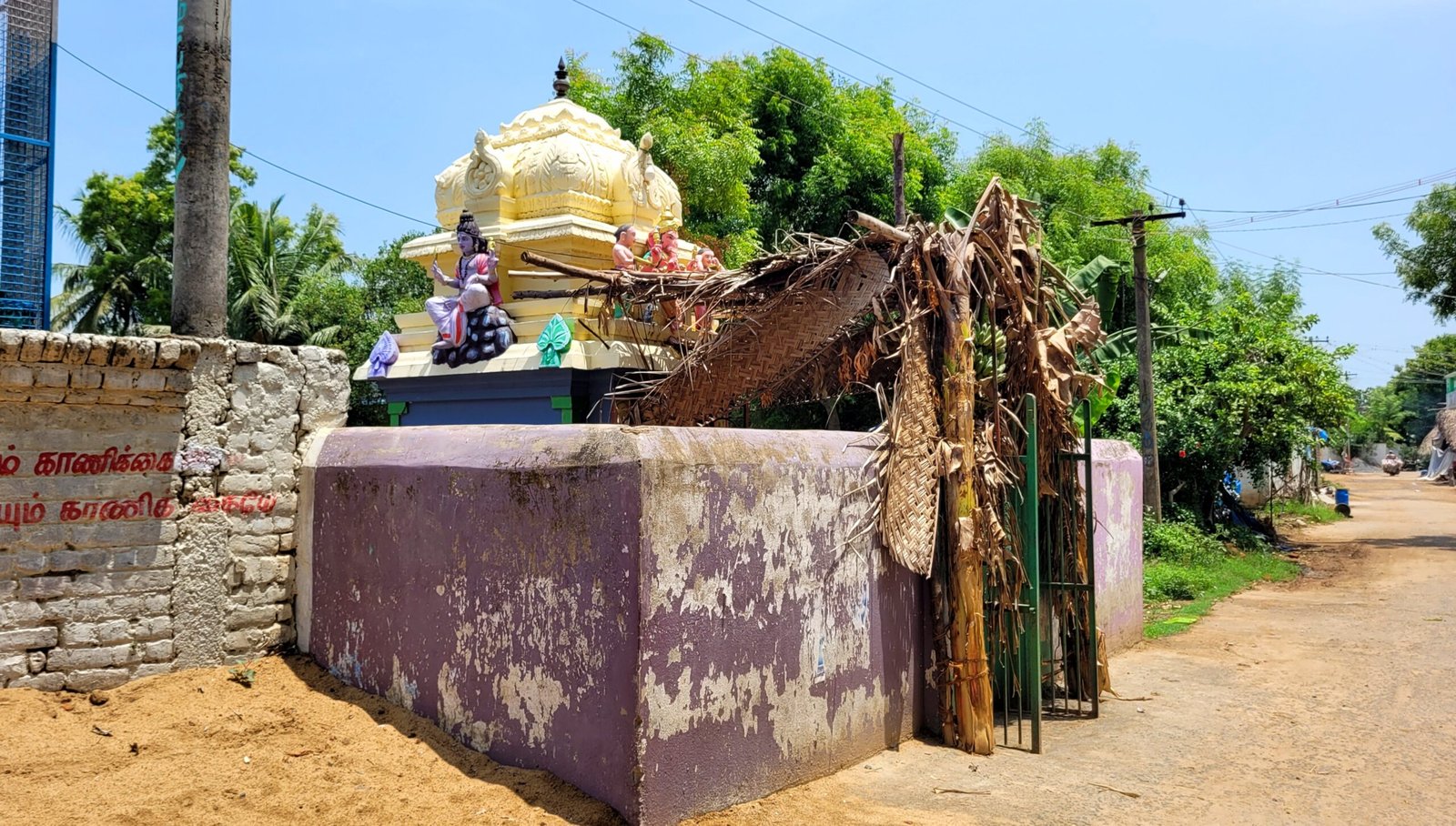
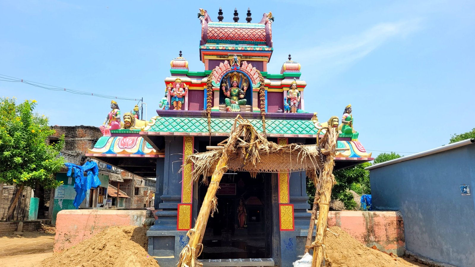
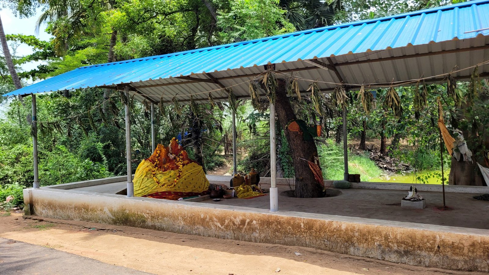
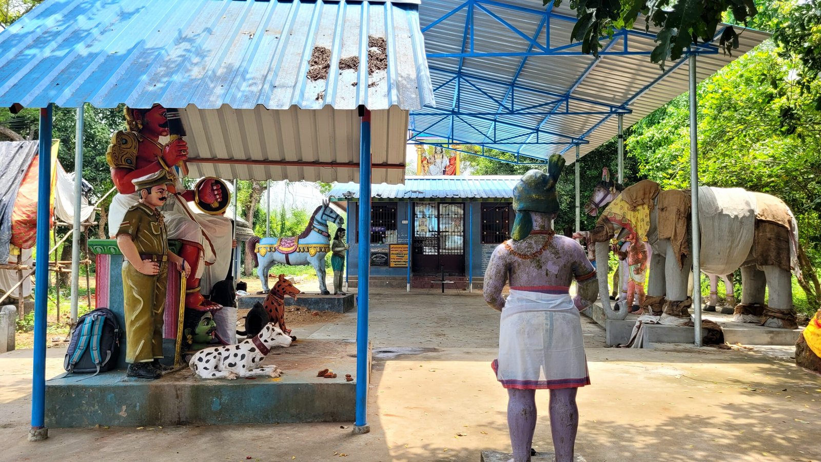
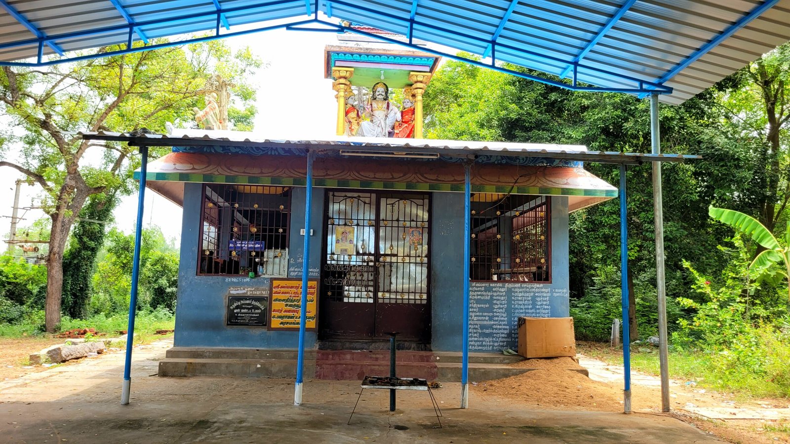
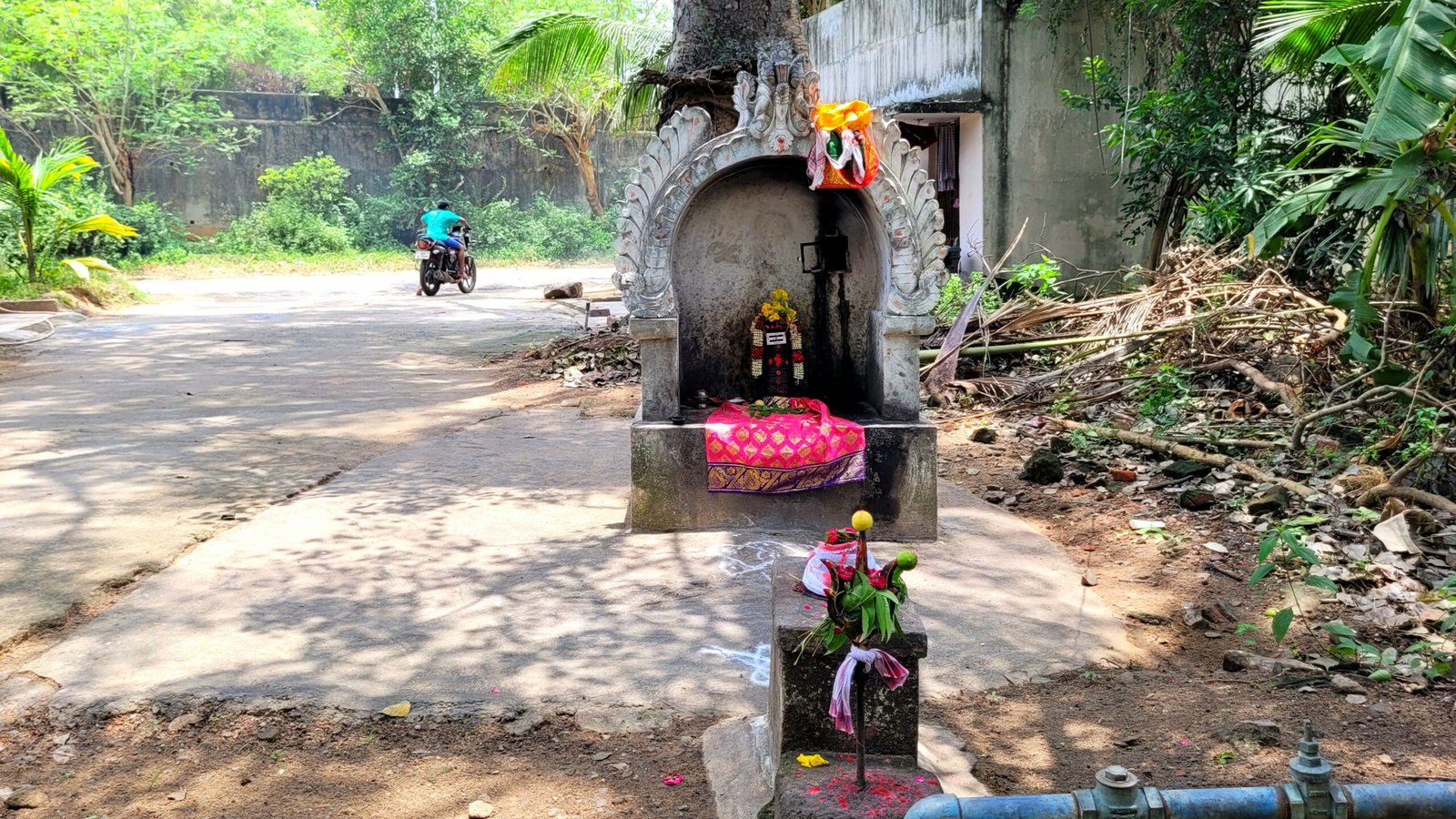
Draupathiamman Temple
Grocery Store (it located on the way to the Pillayar kovil street)
Customer Service Point ( Central Bank of India)
Pottery shop
Gengaiyamman Temple
Hatsun Milk Store
Mariyamman Kovil Street
The places listed below are lined up from Gengaiyamman Kovil Street. This road is connecetd with Pillaiyar Kovil Street and Vellakulam habitation
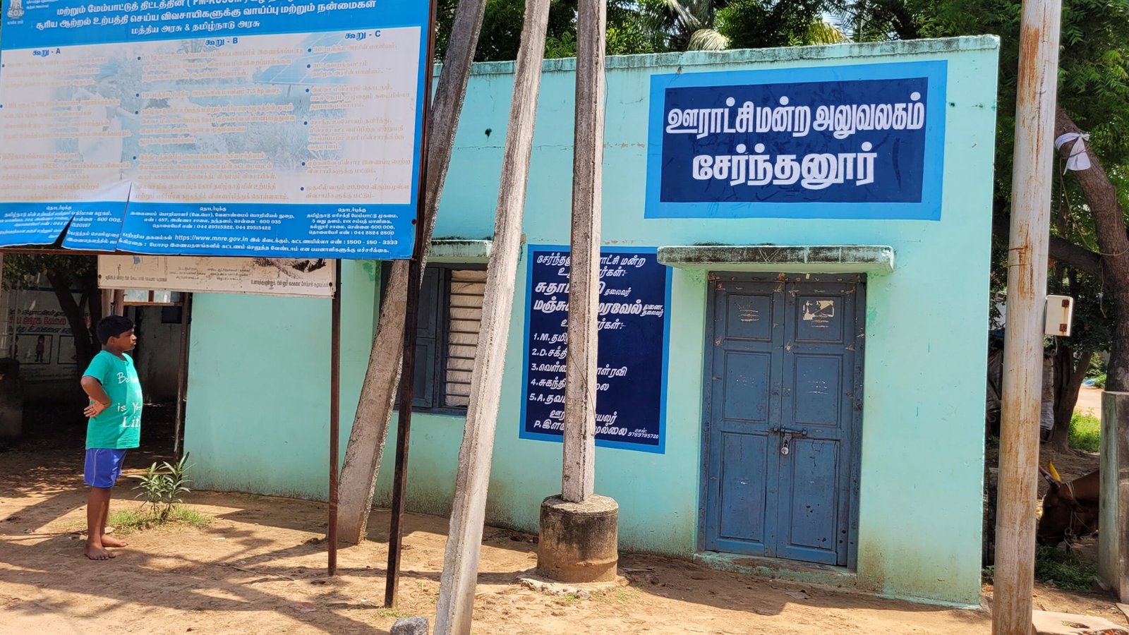
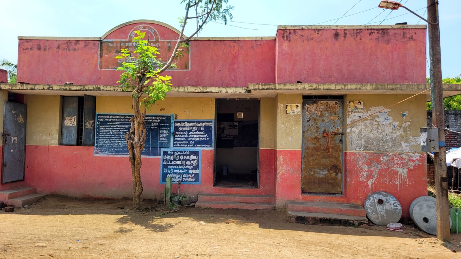
Panchayat Office
The places listed below are located at backside of Panchayat Office building
Children Center
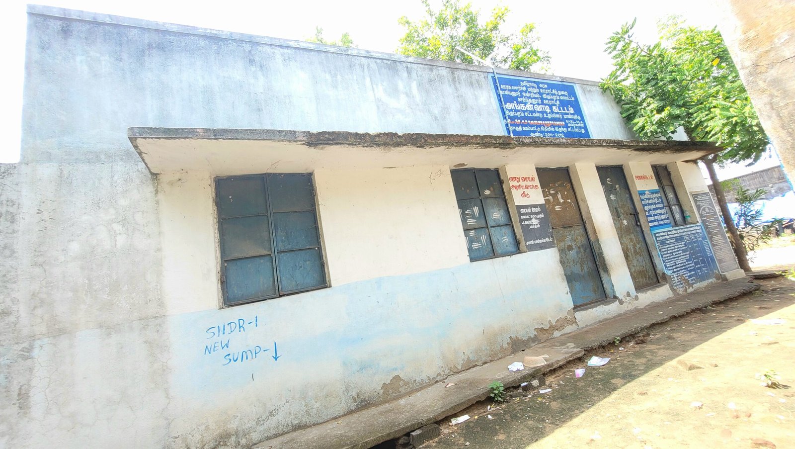
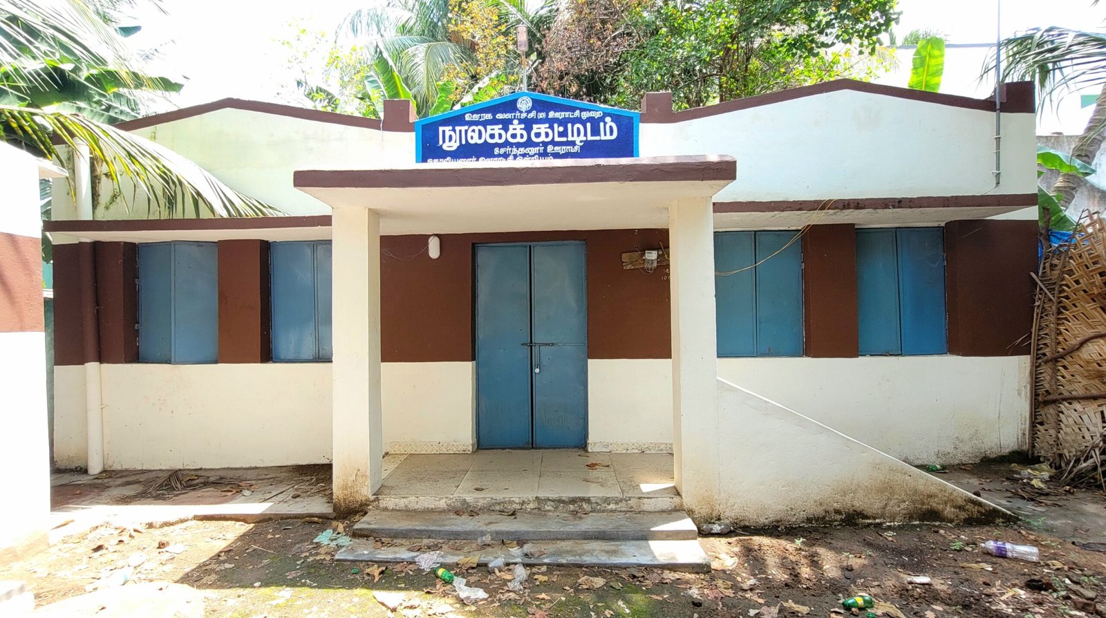
Library
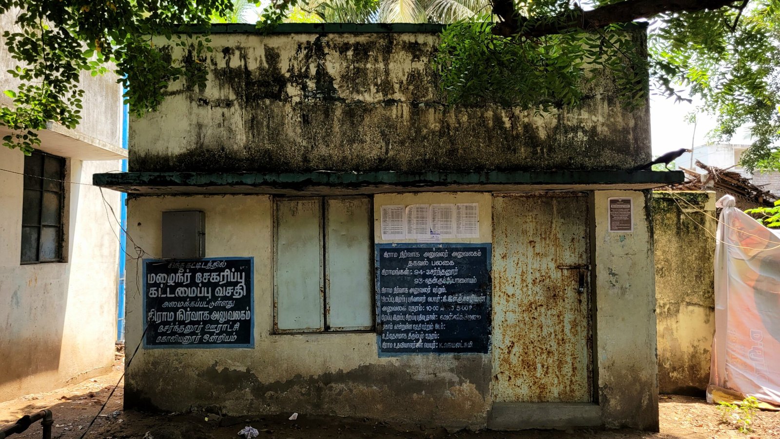
Village Administration Office
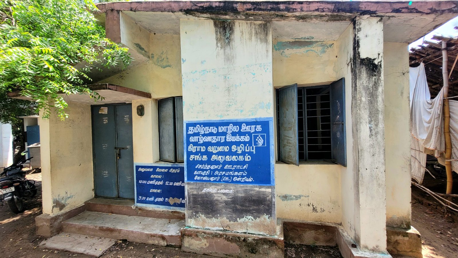
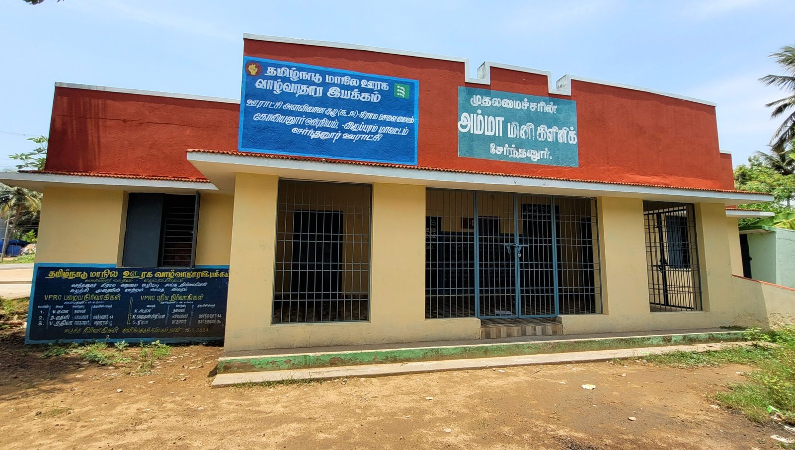
Office of Village Poverty Alleviation Society
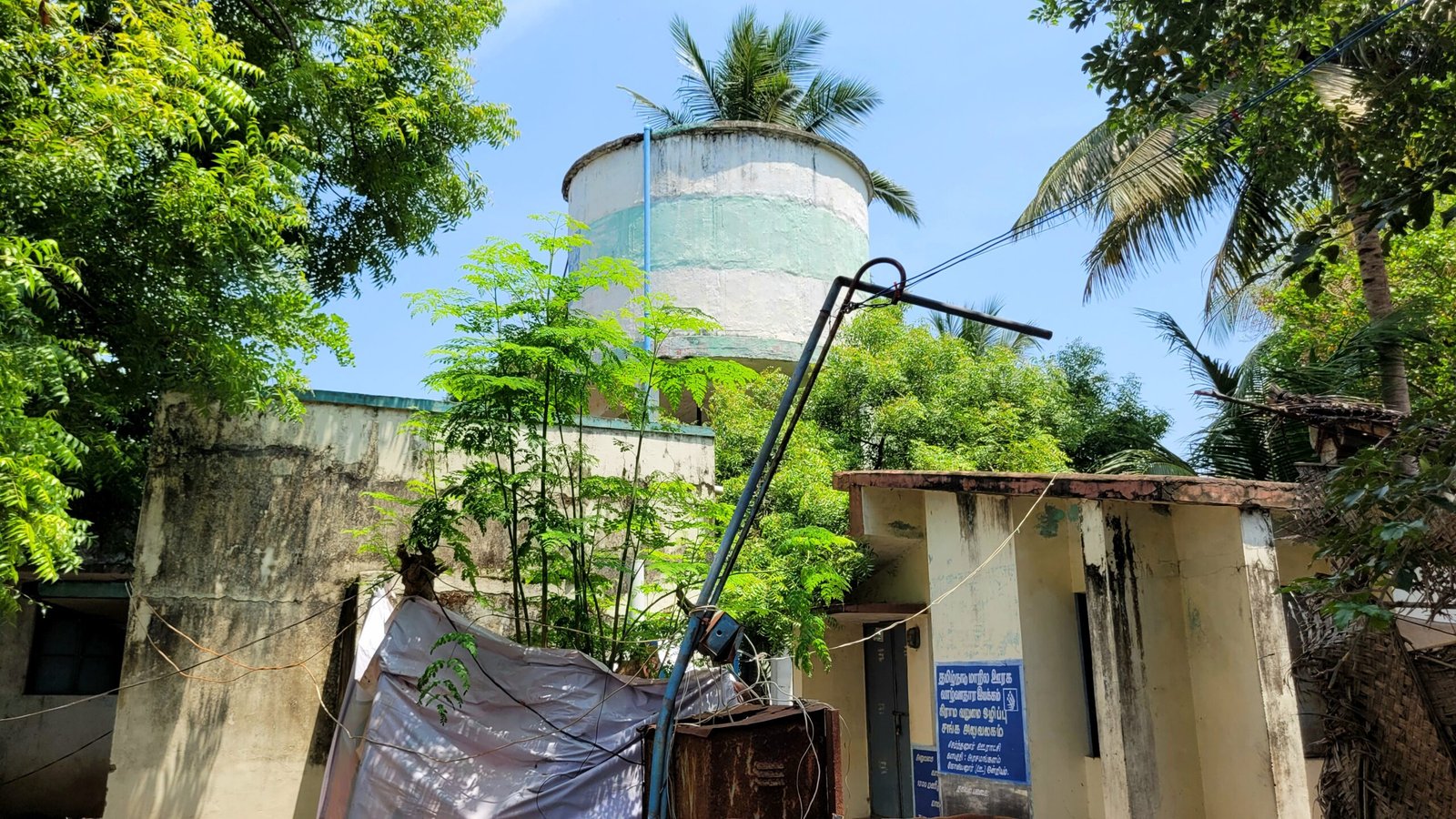
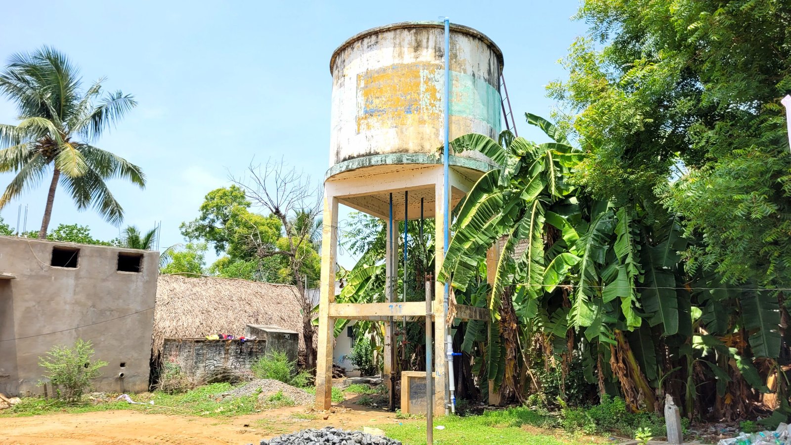
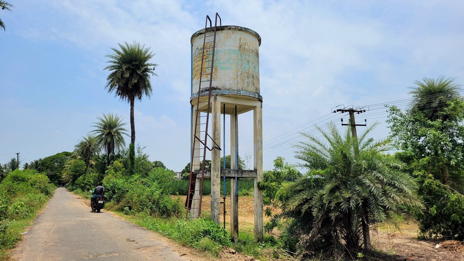
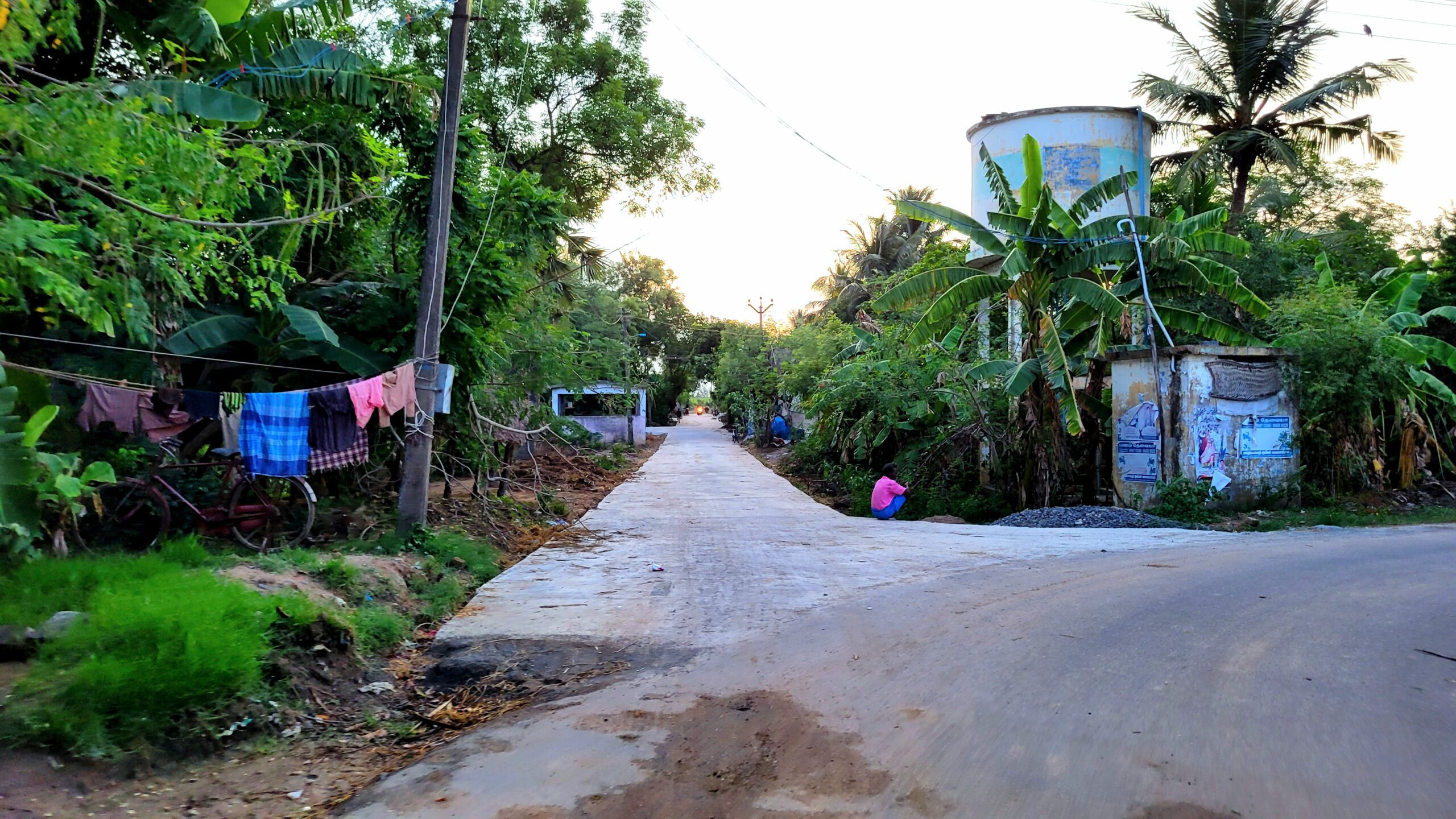
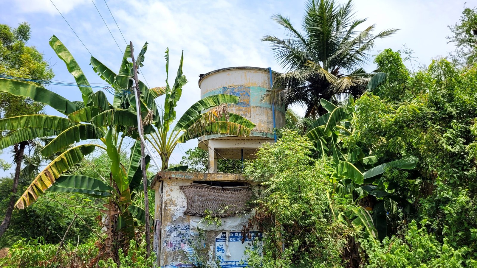
Water Tank
Welding Workshop
Net Center
2 Grocery Stores
Fancy Store
Vegetables Selling Shop
Rental Crockery Store
Tea Stall and Grocery Store
Flour Mill
Tea stall
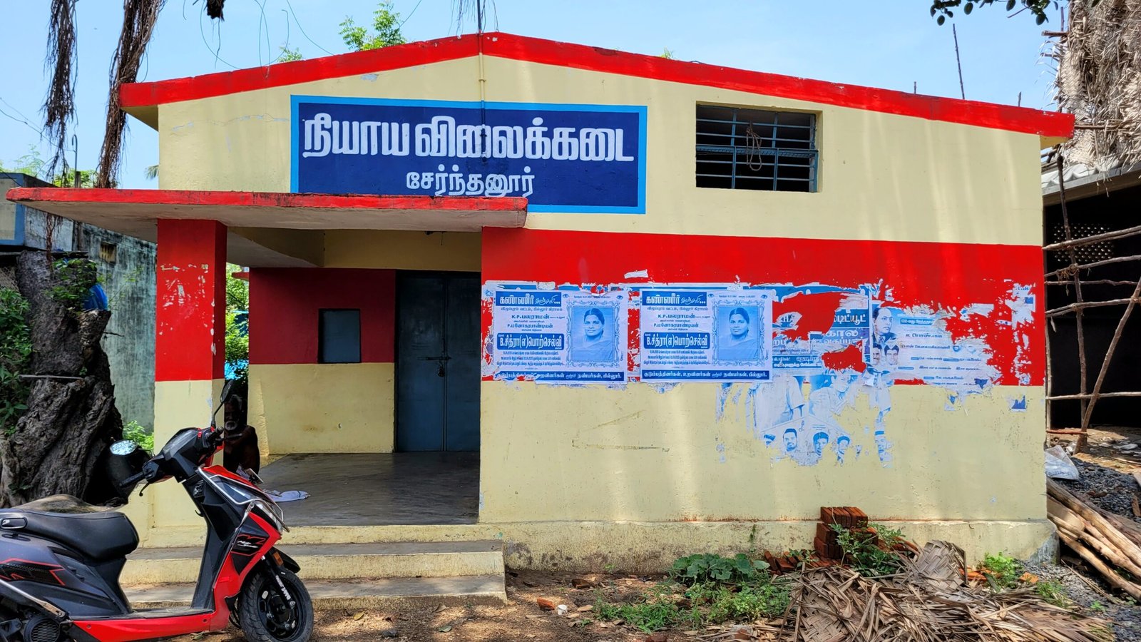
Ration Store(Fair Price Shop)
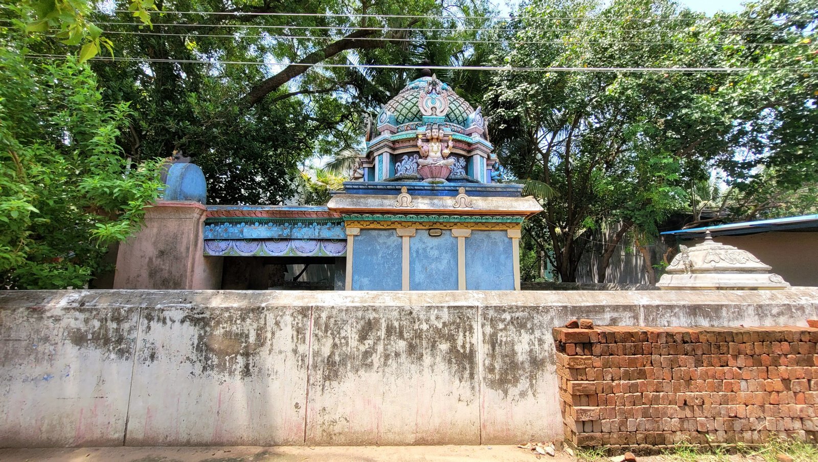
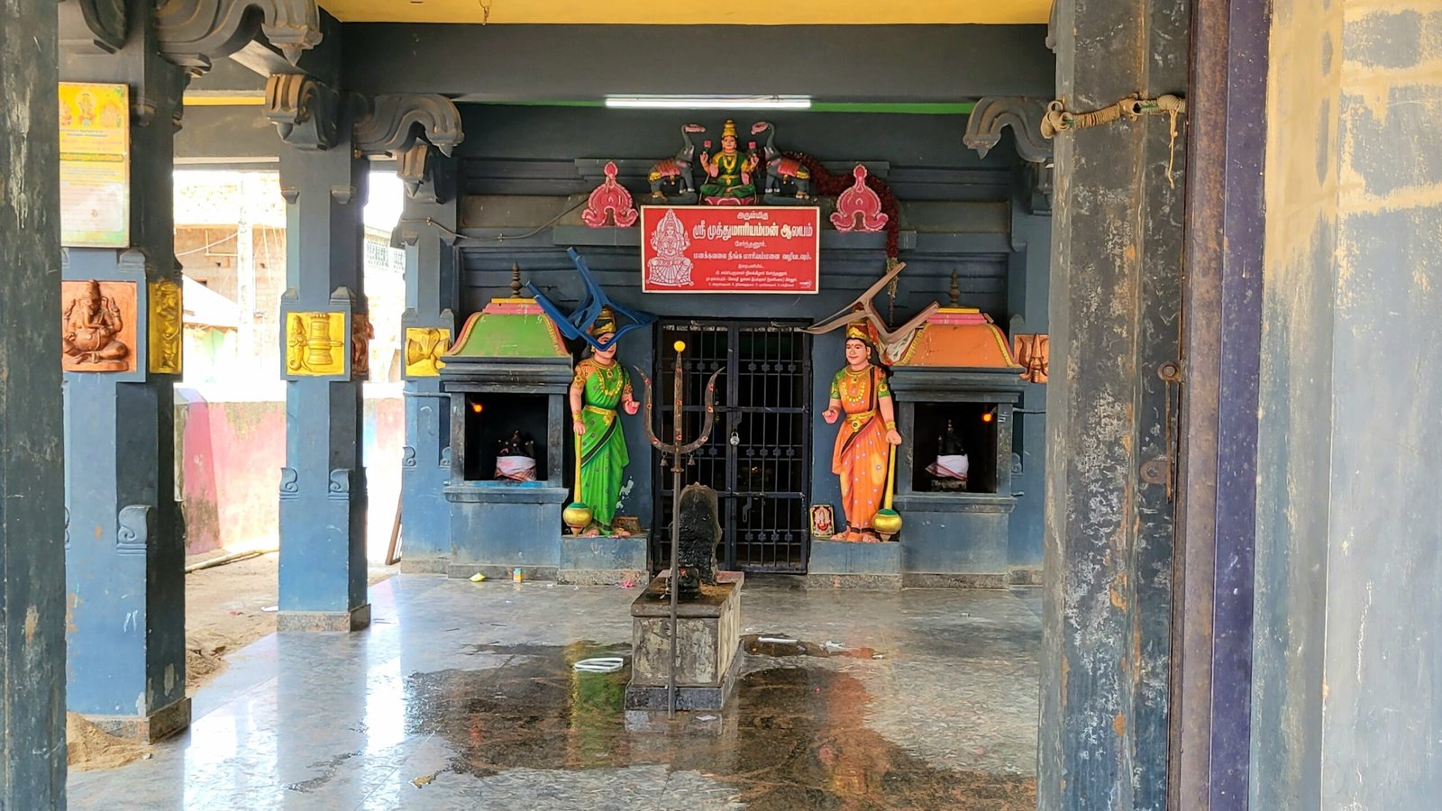
Sri Balamuthumariyamman Temple
Parasakthi Temple
Grocery store
Cycle Puncture shop
Rental Crockery store
Pillaiyar Kovil Street
The places listed below are lined up from Sri Balamuthumariyamman Temple. This road is connecetd with Mariyamman Kovil Street , Gengaiyamman Kovil Street and Serndanur Colony habitation
2 Grocery store
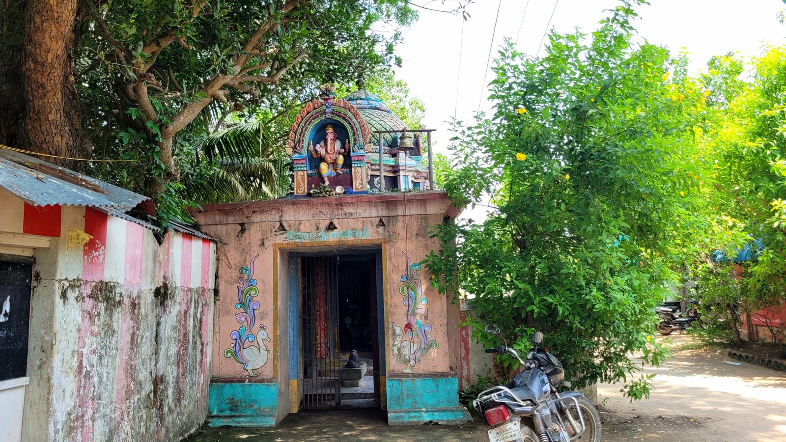
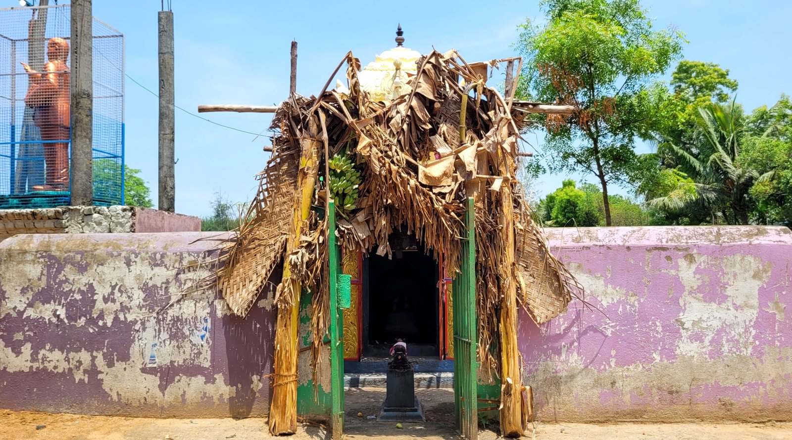
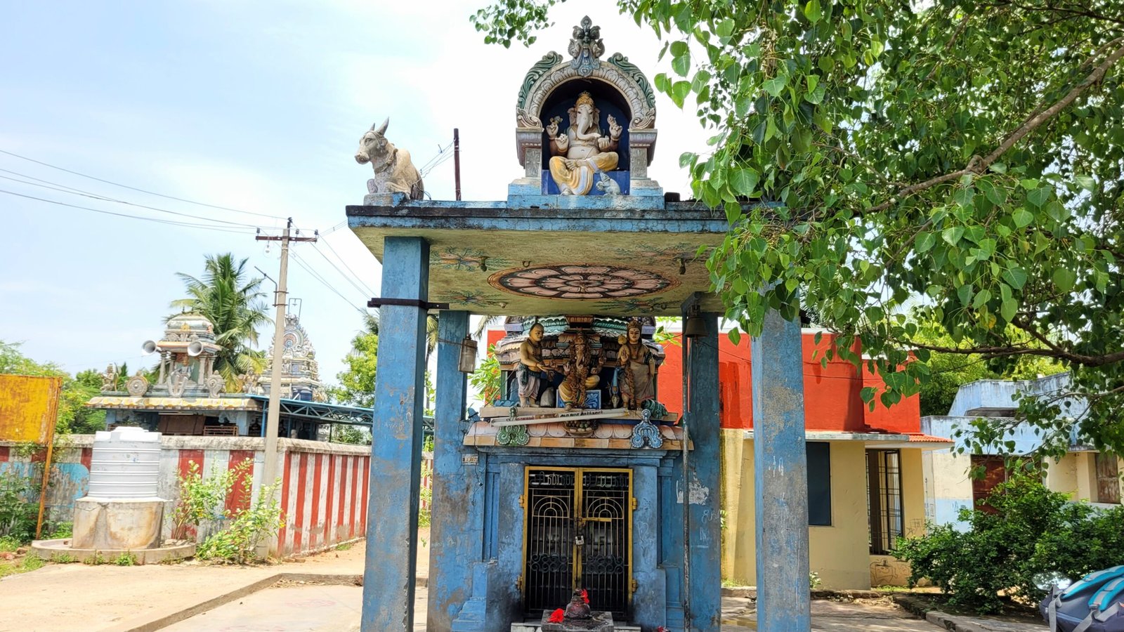
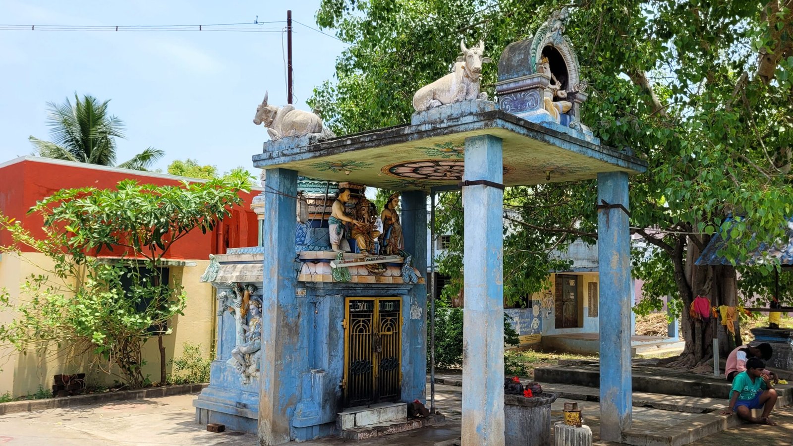
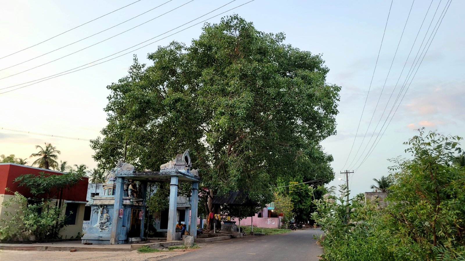
Pillaiyar Temple
The places listed below are located between Serndanur habitation and Serndanur Colony habitation
Grocery store
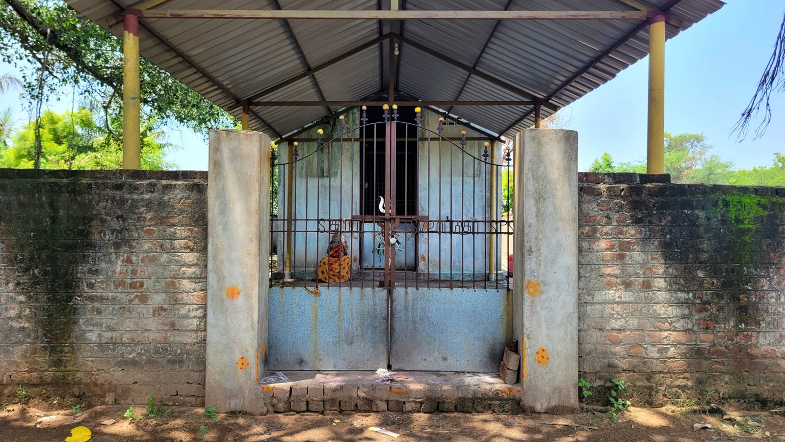
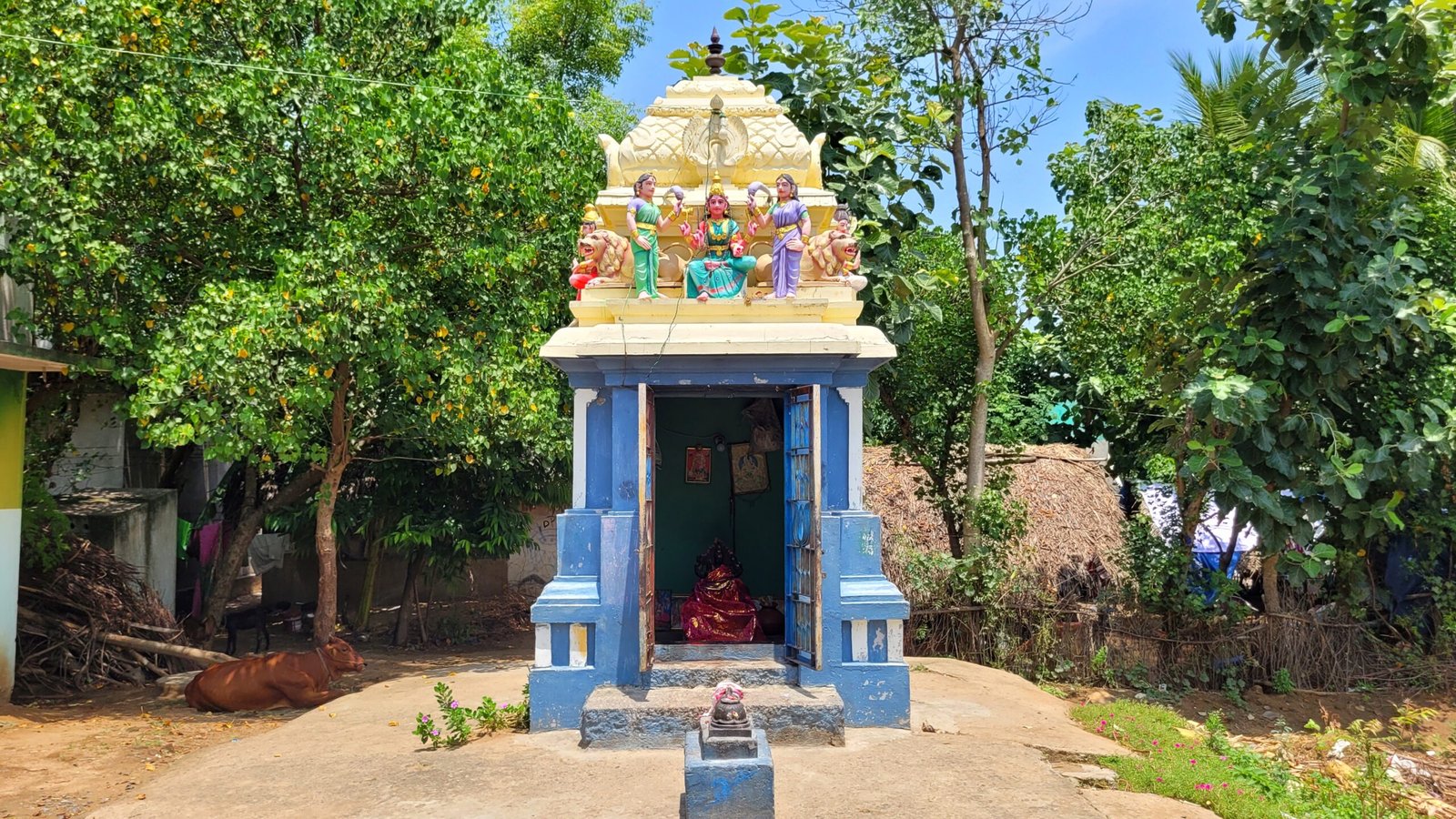
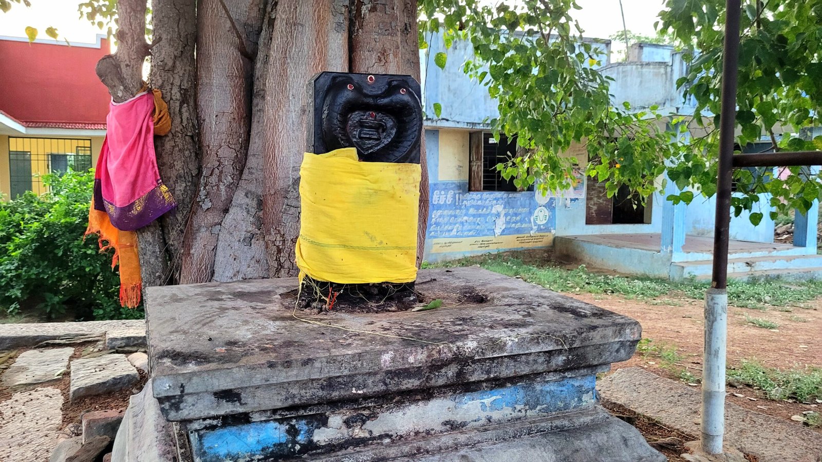
Pidari Amman Temple
Serndanur Colony
Locate with Google Map
Serndanur Colony habitation is adminstrated under Serndanur village Panchayat.There are three roads are available in this habitation area. Those roads are listed below,
Streets of Serndanur Colony
Pillaiyar Kovil Street
The places listed below are lined up from Serndanur habitation. This road is connecetd with Mariyamman Kovil Street
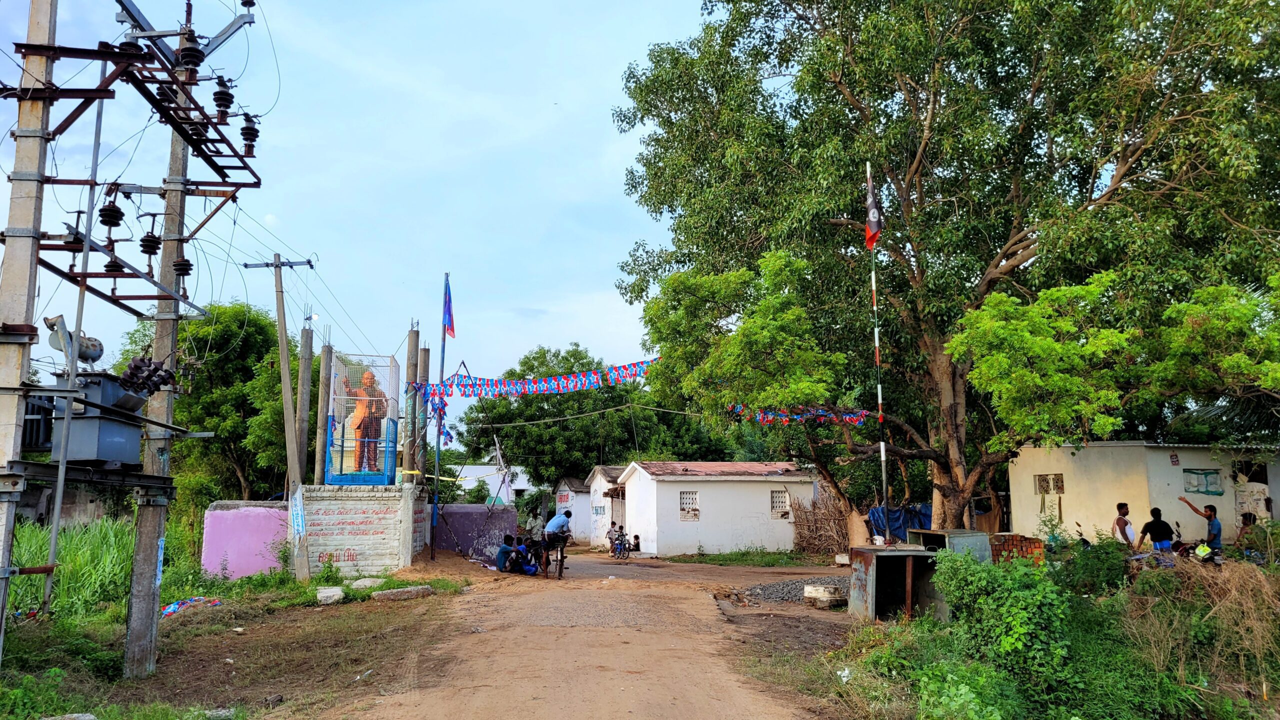
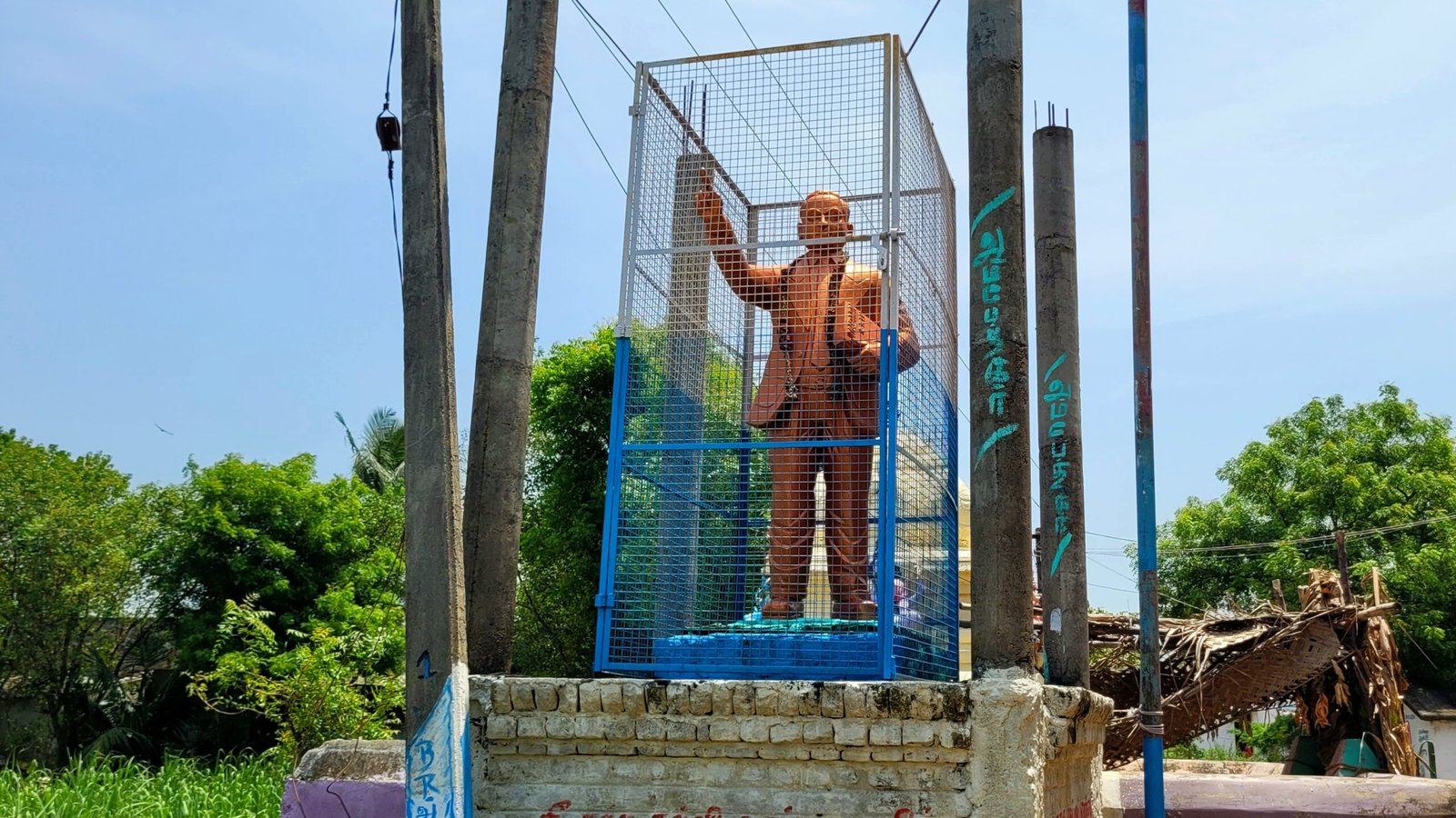
Ambedkar Statue
Pillaiyar Temple
2 Grocery Stores
Mariyamman Kovil Street
This road is connecetd with Pillaiyar Kovil Street and Gengaiyamman Kovil Street
Water Tank
Volleyball Court(Outdoor)
Children Center
Mariyamman Temple
Vellakulam
Locate with Google Map
Vellakulam habitation is adminstrated under serndanur village Panchayat.There are three main streets in the Vellakulam. Those streets are listed below,
Streets of Vellakulam
The places listed below are lined up from Serndanur habitation Area
Mushroom Farm
SKA Dairy
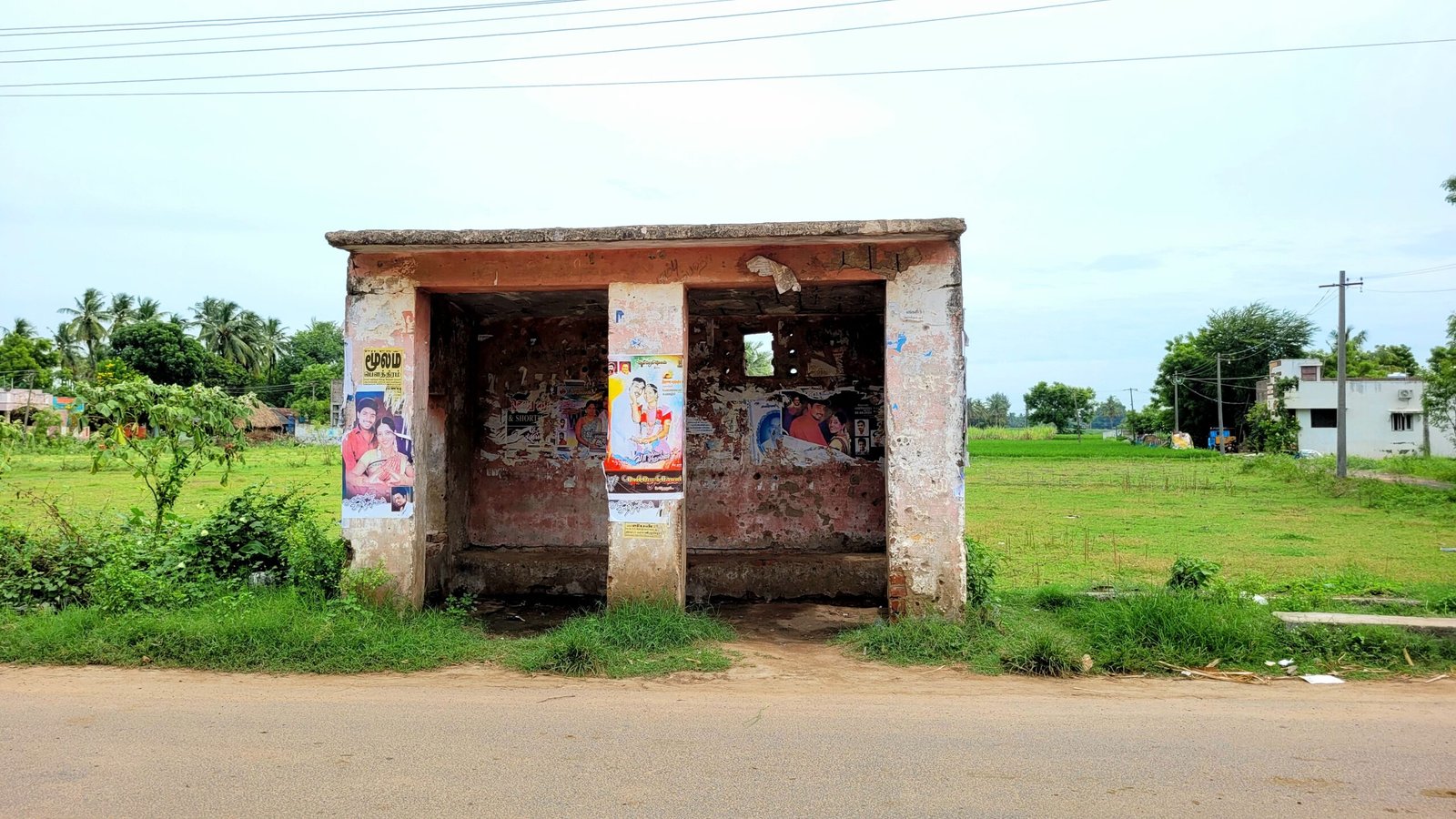
Bus Stop
2 Restaurants(Lunch , Dinner)
2 Grocery Stores
Old Iron Shop
Below mentioned places are located on the way to the Rayiladi from Vellakulam and this is the road to Rayiladi habitation and Railway Station
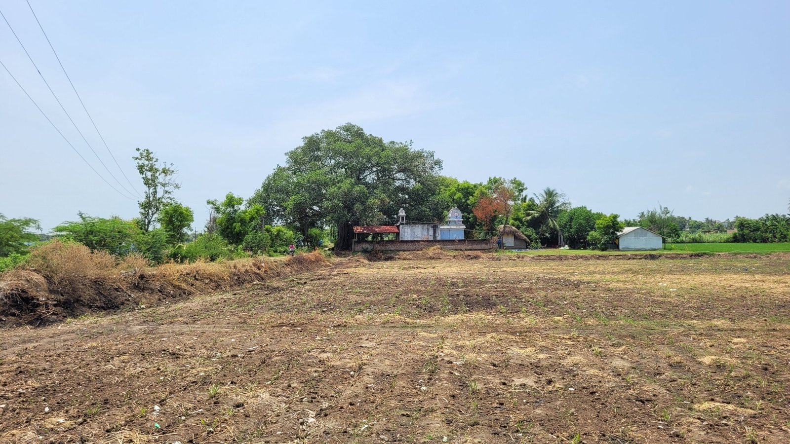
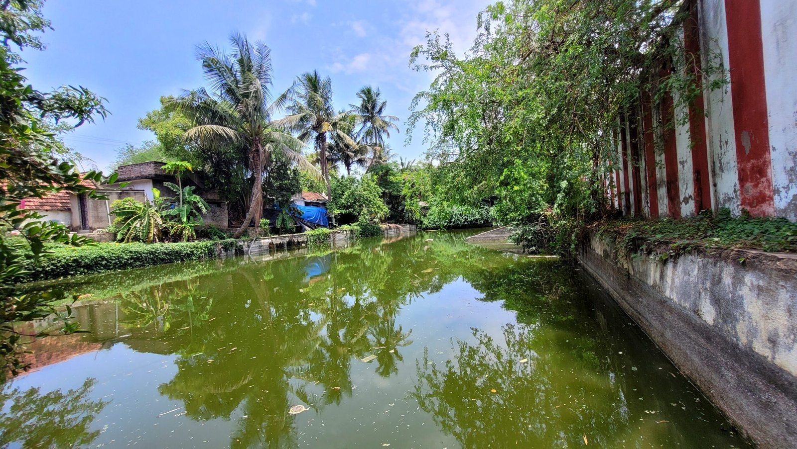
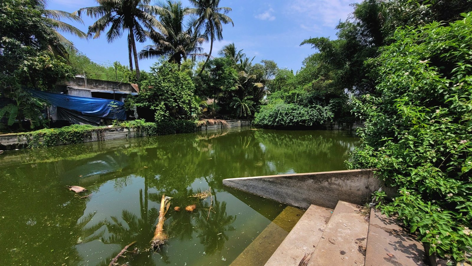
Pond

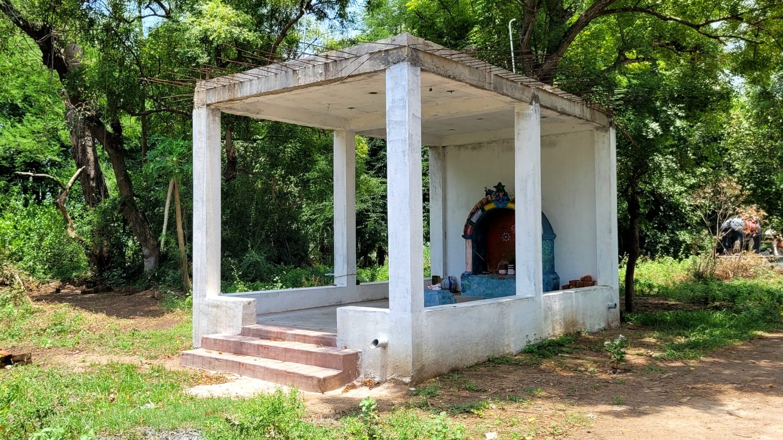
Putru Kovil
Water Tank
Way to Thiruppachanur
Iyyanarappan Temple
It located on the way to the Thiruppachanur village from Vellakulam habitation
Pillaiyar Kovil Street
The places listed below are lined up from Way to Thiruppachanur. This is the road to Periyathoppu Pathai and Pilllur Village
Water Tank
Pond
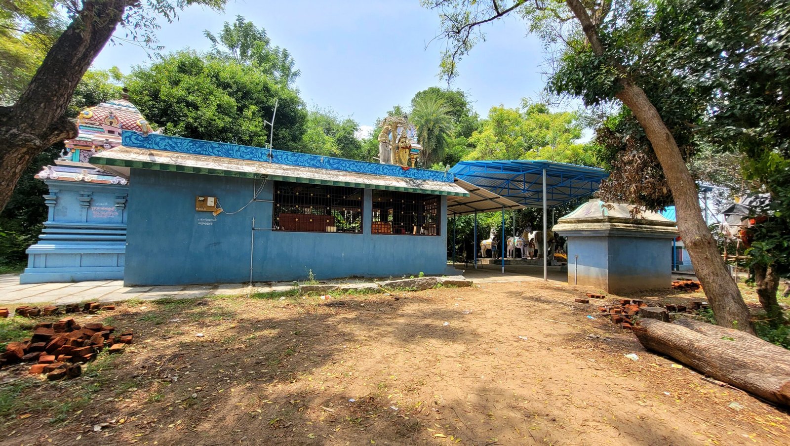
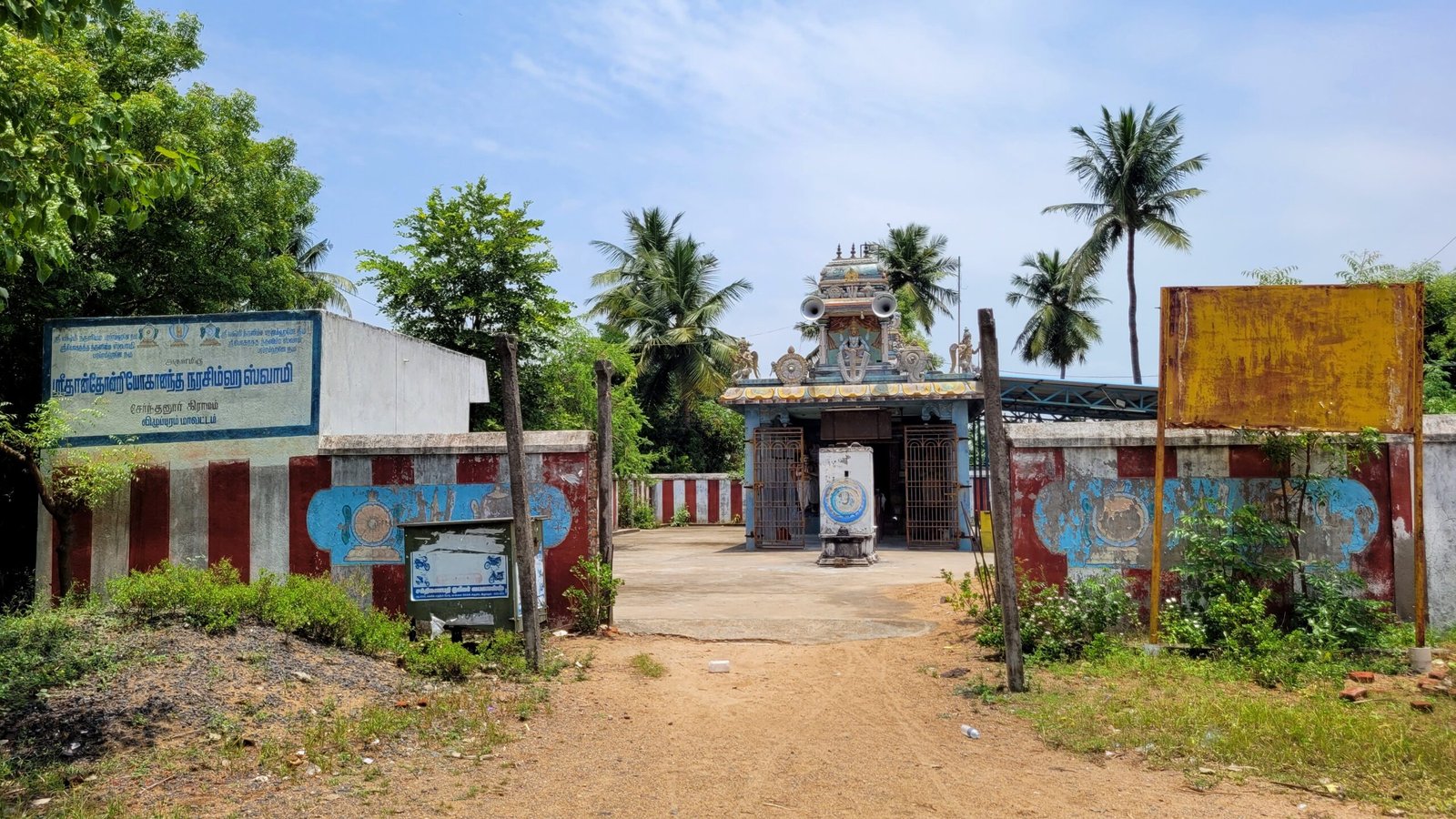
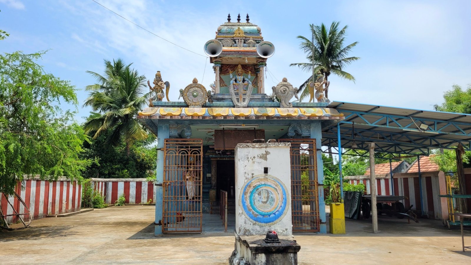
This pond is located at side of Shri Narasimha Swamy Temple
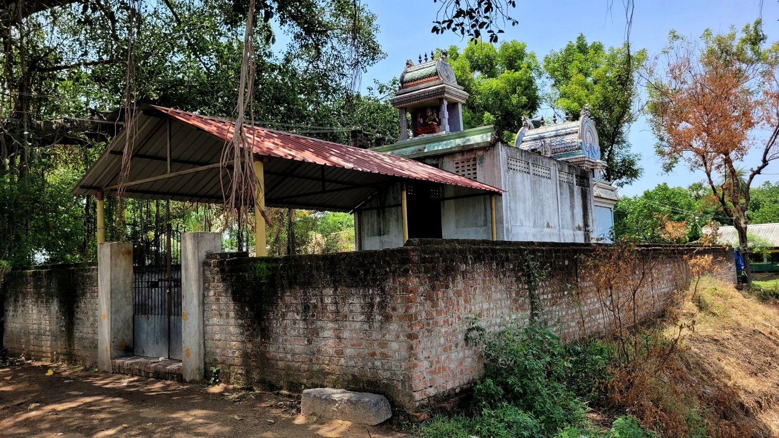
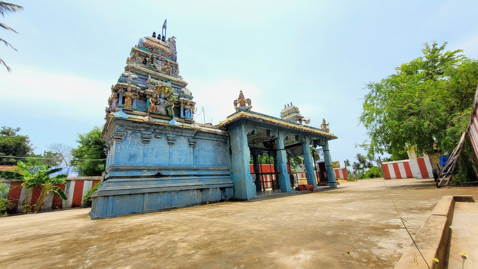
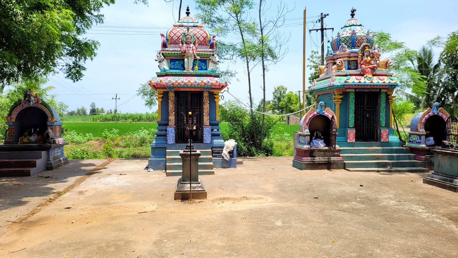
Shri Narasimha Swamy Temple
Pillaiyar Temple
Nagathamman Temple

Amma Mini Clinic
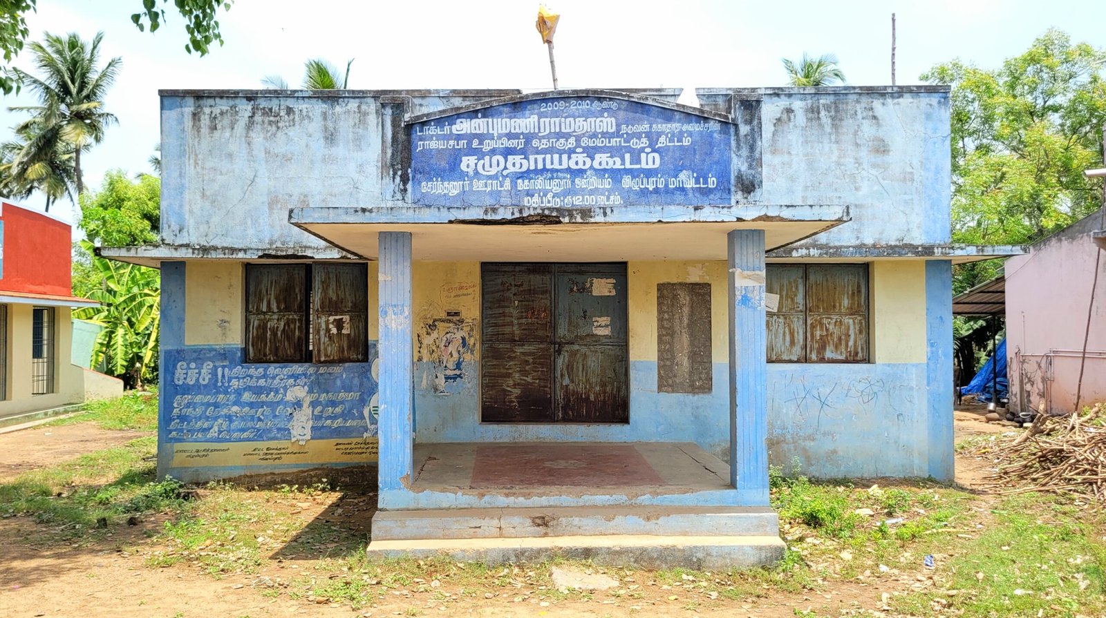
Community Hall
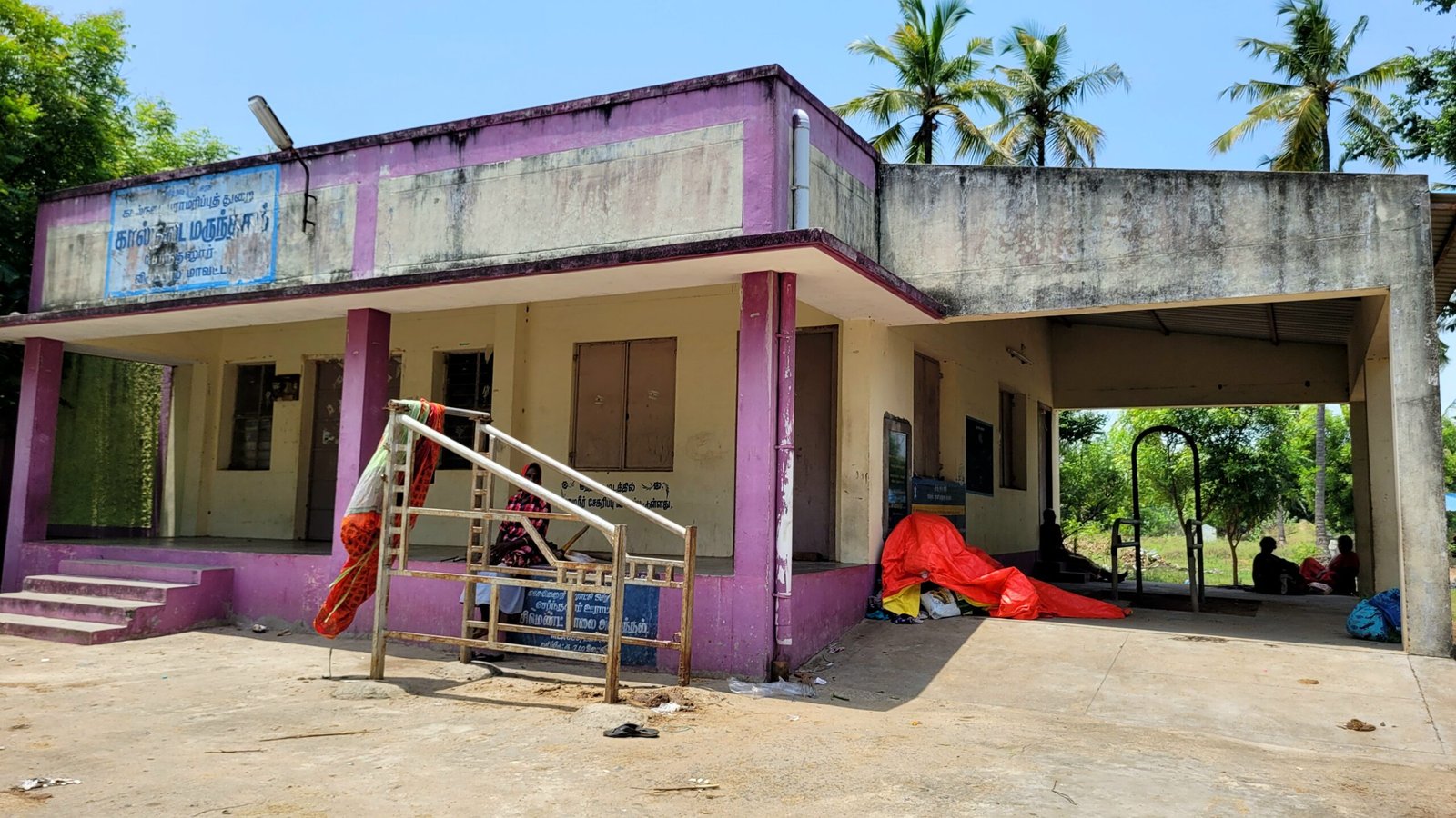
Government Veterinary Hospital
Vermicompost production site
Community Manure Pit
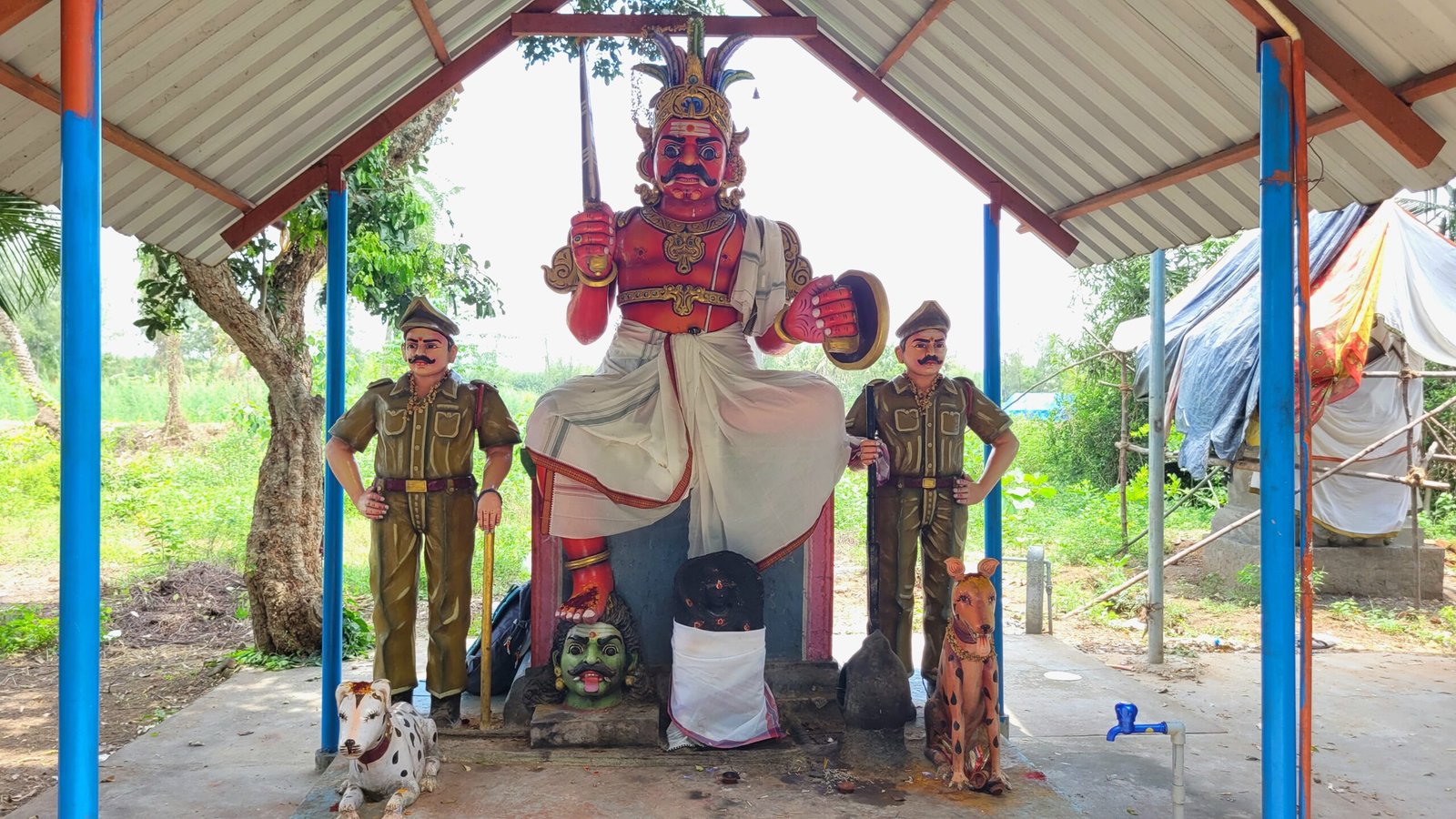
Periyathoppu Pathai
Below mentioned places are located on the way to the riverside from Pillaiyar Kovil Street
Chicken Farm
Periyandavar Temple
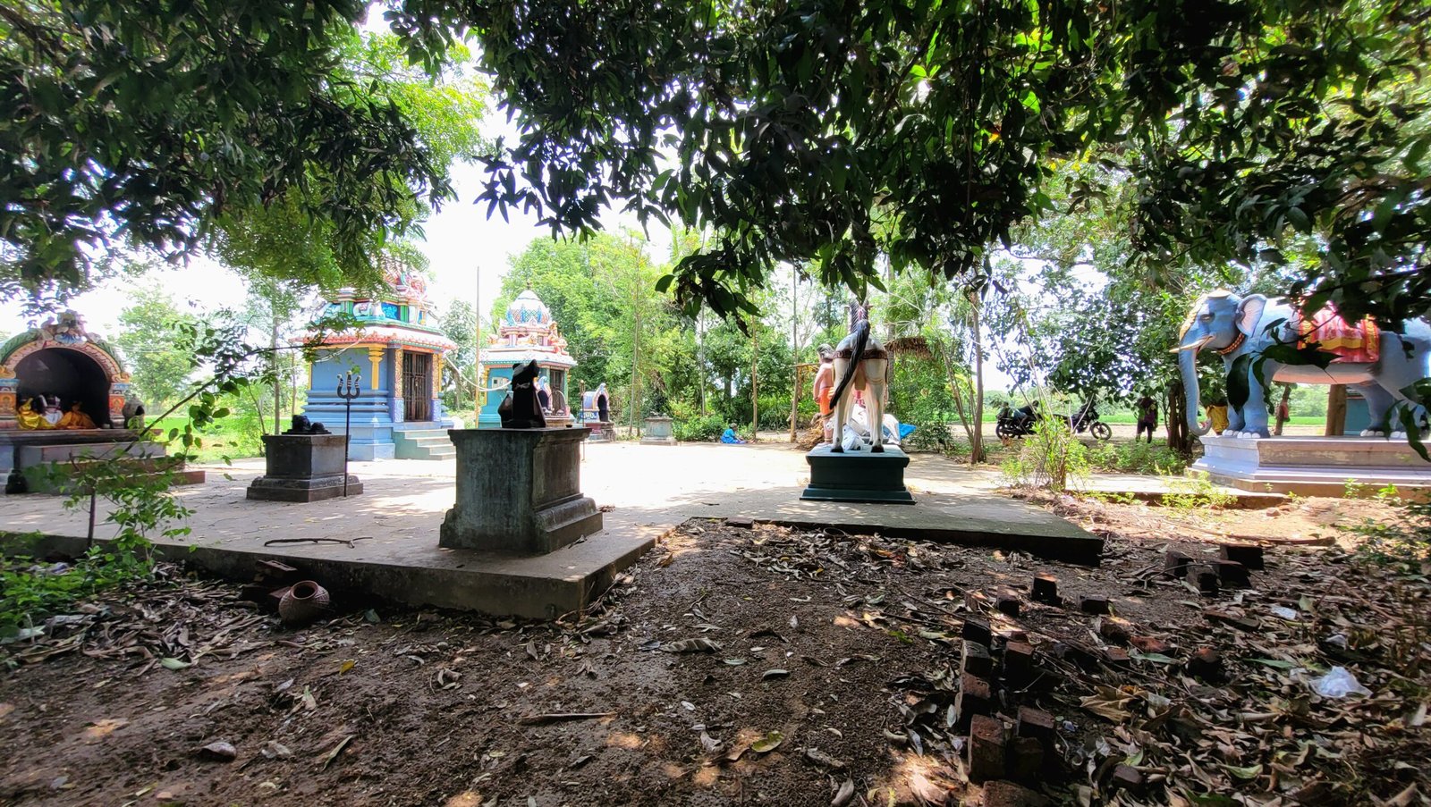
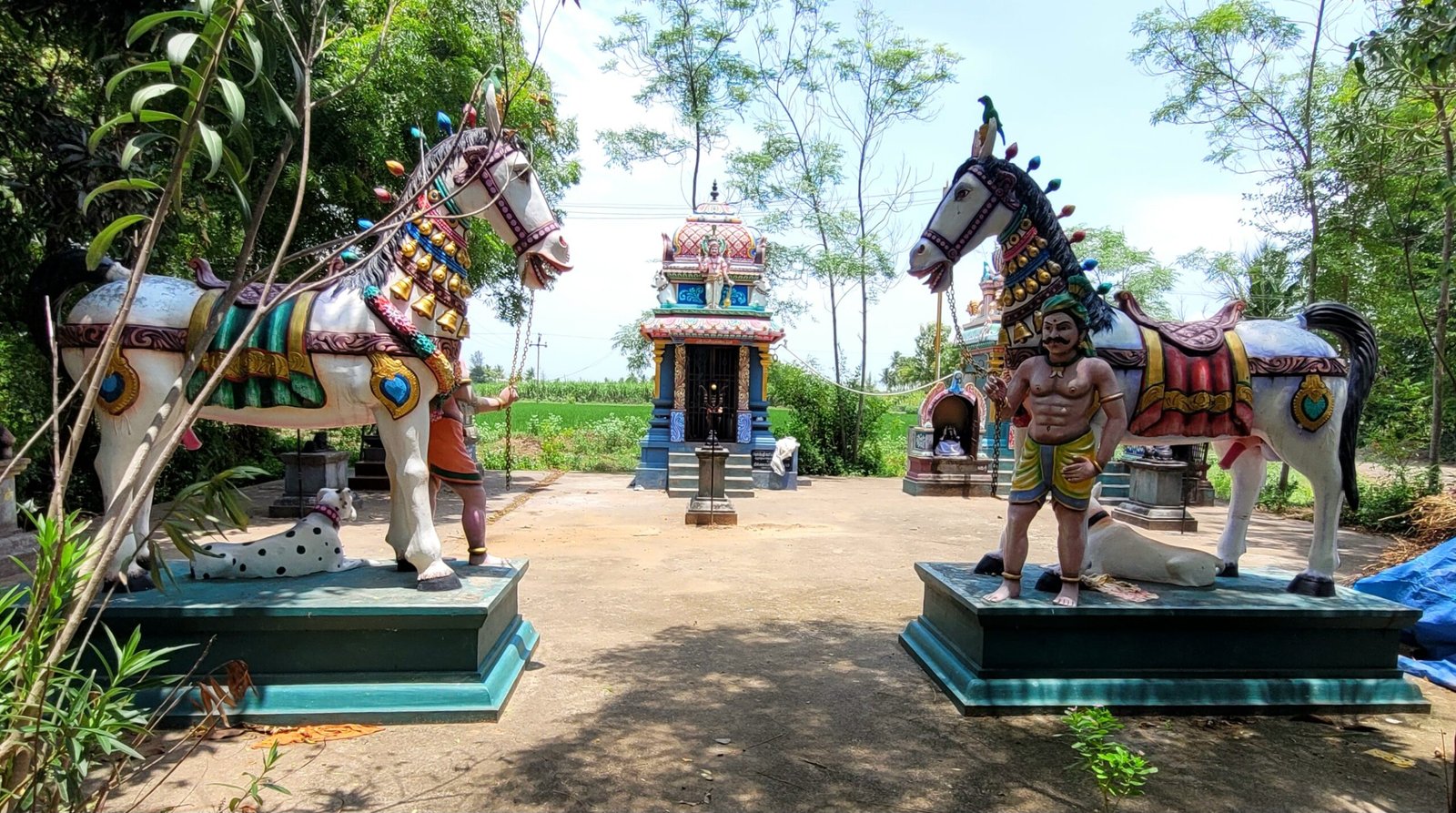
Angalamman Temple
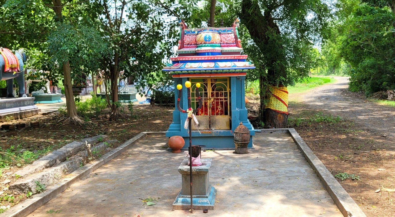
Temple
Road Ended
Below mentioned places are located at the end of the Periyathoppu pathai
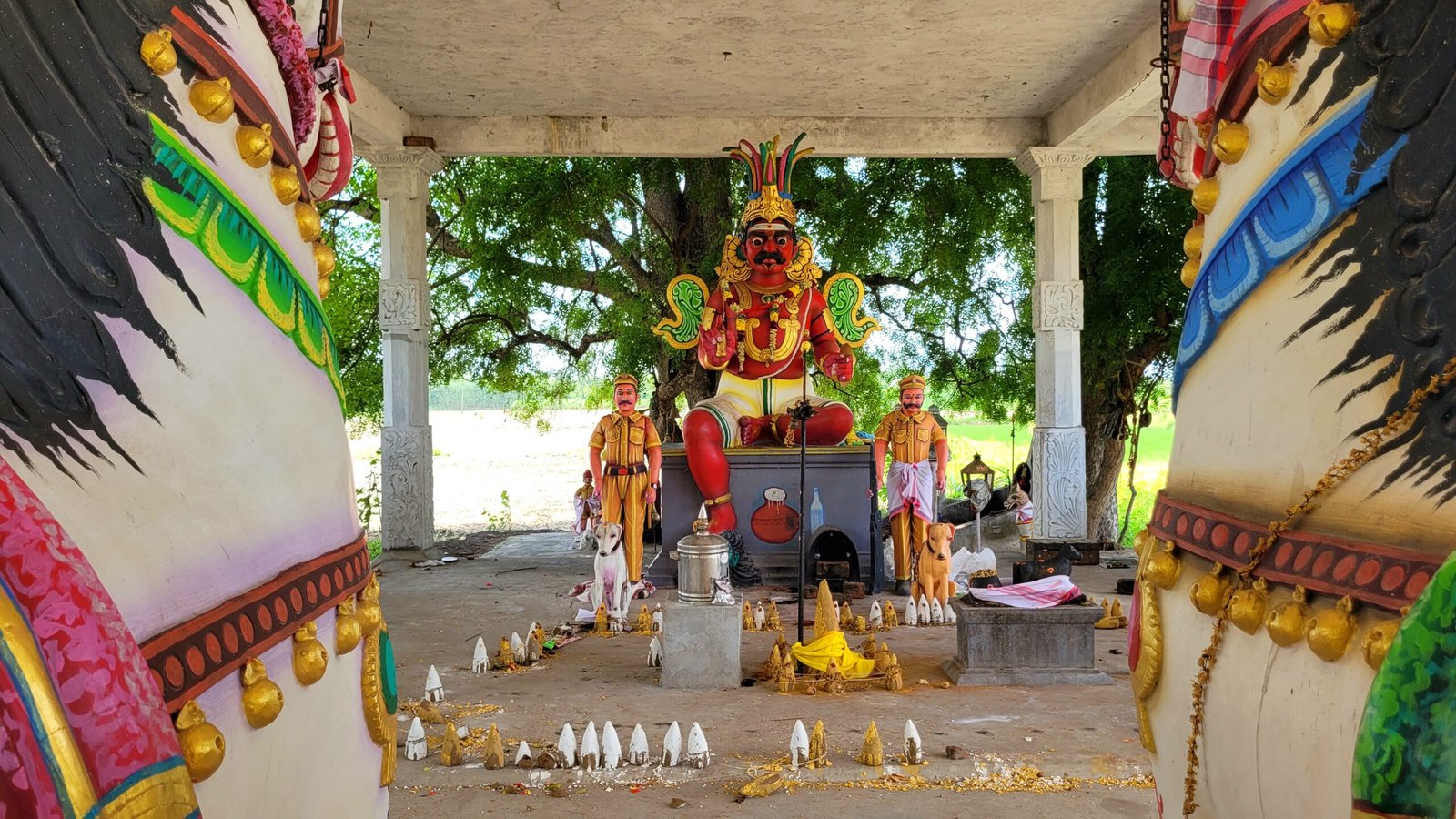
Veeran Temple
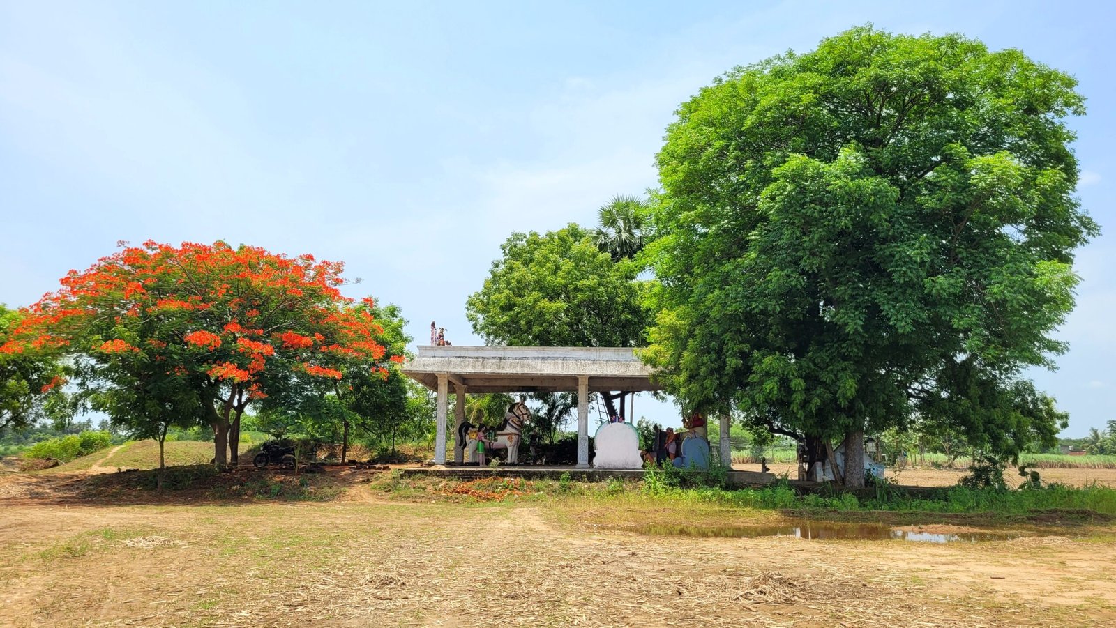
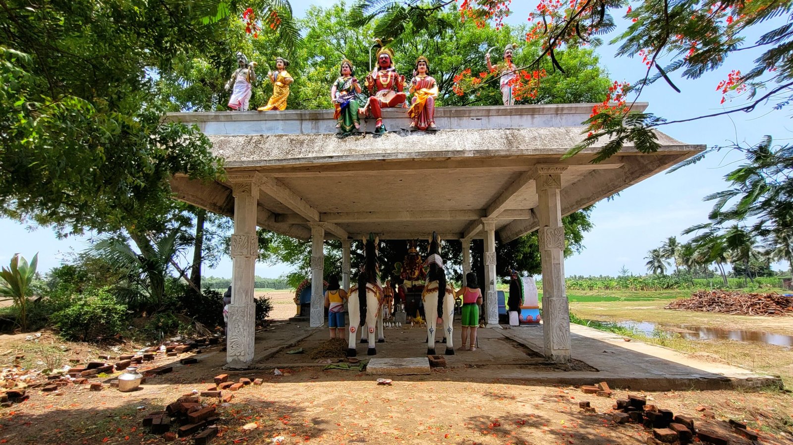
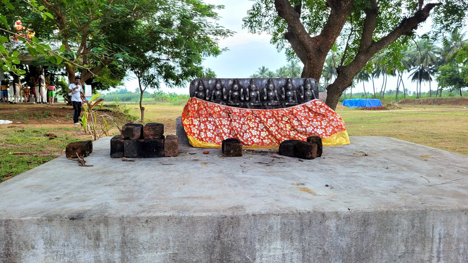
Kannimar Temple
Rayiladi
Locate with Google Map
Rayiladi habitation is adminstrated under serndanur village Panchayat. This habitation is connecetd with Then Kuchiplayam village,
Pillaiyar Temple
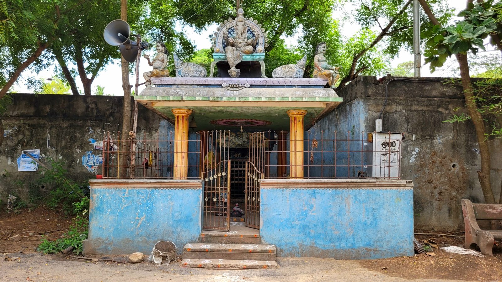
Amman Temple
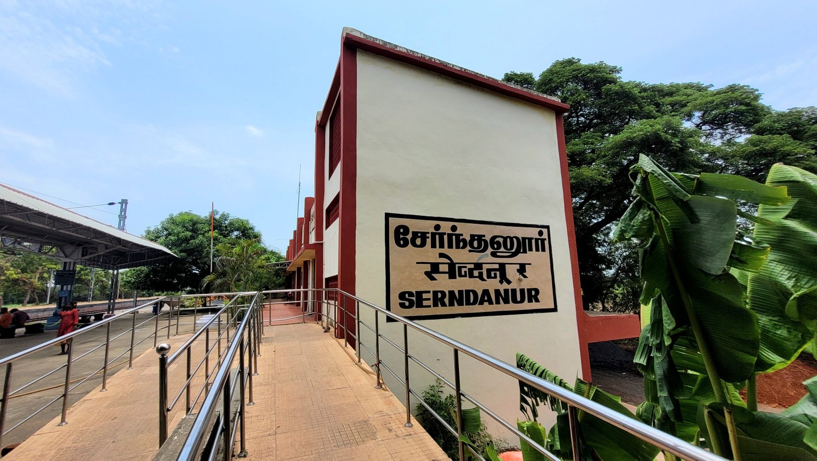
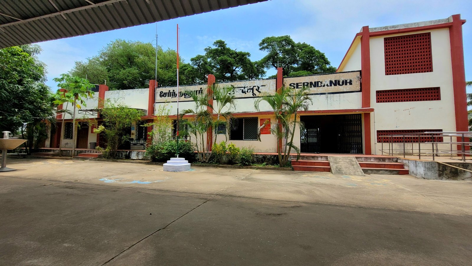
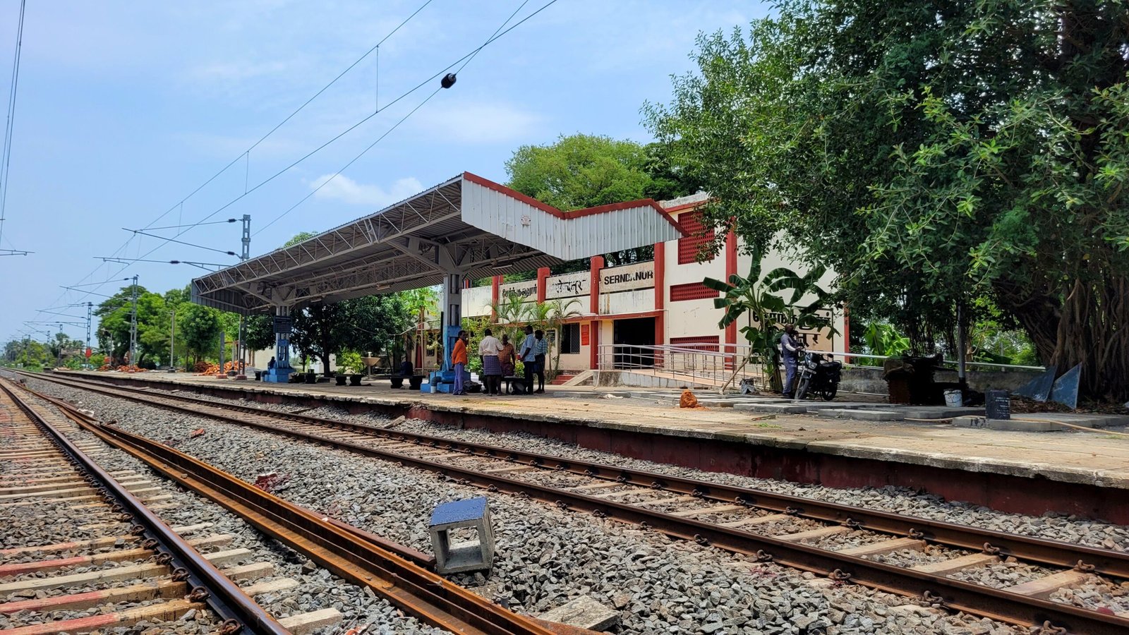
Railway Station
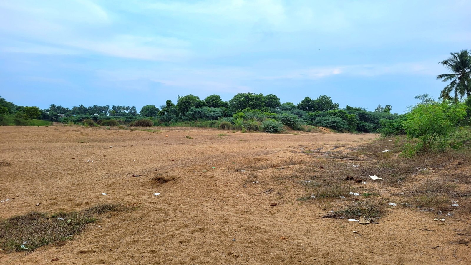
Malattaru River
Transportation Facilities
Via Train
There is a railway station here in this village (Serndanur Railway Station)
Nearby Railway Stations with Transportation Facilities for this place:
Viluppuram Junction (10 KM)
Panruti Railway Station (13 KM)
Via Bus
From Viluppuram Bus Stand : There is a government bus that goes directly to Serndanur village. Bus No.3I Serndanur.
Via Auto
There is also an auto facility to go to this village from A.K.Kuchipalayam village.(How to reach A.K.Kuchipalayam)
Below mentioned places are located within 15 kms from here
- Viluppuram
- Siruvandhadu
- Poovarasankuppam
- Madukarai
- Shri Varadharaja Perumal Temple–Arasamangalam
- Shri Lakshmi Narahsimma perumal Temple – Poovarasankuppam
- Sishta Gurunatheswarar Temple – Thiruthuraiyur
- Valeeswarar Temple – Koliyanur
- Shri Anjaneya Temple – Devanathaswamy Nagar
Saved Memories in Sorted Timeline
Thank you for visiting our Site.We will regularly update the information on this page. So visit our Site regularly for latest information about this place.
Details last updated on 01/11/2024